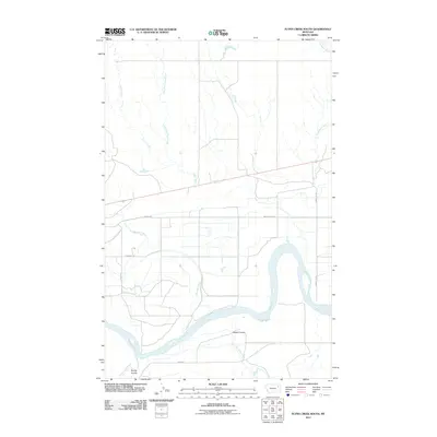
2011 Map of Flynn Creek South
USGS Topo · Published 2011About this map
The Missouri River defines the southern portion of this landscape, carving a wide path through the eastern Montana plains. This 2011 survey illustrates the intricate drainage patterns of the Wolf Point District, where the main channel is joined by Oswego Creek and Prairie Elk Creek. The area is characterized by a network of seasonal watercourses and coulees, including Steele Coulee and Spring Coulee, which shape the local topography. Human infrastructure is represented by rural transport routes such as Indian Hwy and Lowmiller Rd, which provide access through the open river valley. North of the river, the land is dissected by Flynn Creek and its tributary, East Fork Flynn Creek, highlighting the importance of these water sources to the region's ranching and agricultural history.
Find a feature on this map
15 named features on this map. Tap any name to fly to it.
Don’t see what you’re looking for? This feature index may not catch every label — zoom into the map to look around manually.
Map Details
Editions of this 2011 Flynn Creek South Map
This is the sole edition of this map. No revisions or reprints were ever made.
Other maps of this area

1915 · Oswego
USGS Topo · 1:62,500

1916 · Wolf Point
USGS Topo · 1:62,500

1954 · Glendive
USGS Topo · 1:250,000

1954 · Wolf Point
USGS Topo · 1:250,000

1957 · Glendive
USGS Topo · 1:250,000

1958 · Wolf Point
USGS Topo · 1:250,000

1958 · Glendive
USGS Topo · 1:250,000

1972 · Flynn Creek North
USGS Topo · 1:24,000

1972 · Wolf Point
USGS Topo · 1:24,000
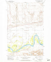
1972 · Flynn Creek South
USGS Topo · 1:24,000
Featured Places
- Wolf Point District, MT
- Oswego District, MT
- Prairie Elk Hutterite Colony, MT
- Roosevelt County, MT
- Valley County, MT