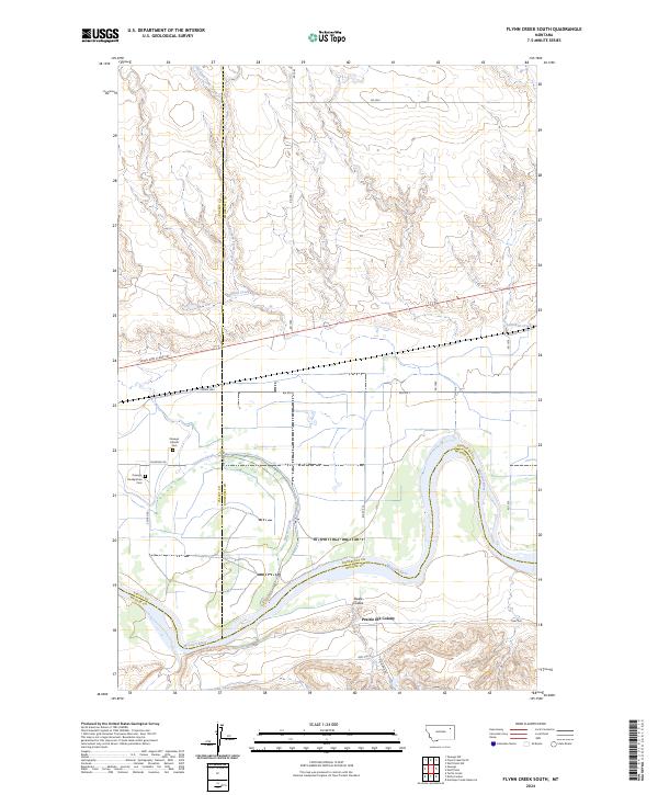
2024 Map of Flynn Creek South
USGS Topo · Published 2024About this map
The Missouri River winds through the southern reaches of this landscape, marking the convergence of Valley, Roosevelt, and McCone counties. Near the river's north bank, the Prairie Elk Colony sits as a significant modern communal settlement, situated south of the historic burial grounds of the Oswego Presbyterian Cem and Oswego Catholic Cem. The terrain is defined by a network of seasonal drainages including Oswego Creek, Littleman Creek, and Flynn Creek, which carve through the high plains toward the river valley.
Find a feature on this map
29 named features on this map. Tap any name to fly to it.
Don’t see what you’re looking for? This feature index may not catch every label — zoom into the map to look around manually.
Map Details
Editions of this 2024 Flynn Creek South Map
This is the sole edition of this map. No revisions or reprints were ever made.
Other maps of this area

1915 · Oswego
USGS Topo · 1:62,500

1916 · Wolf Point
USGS Topo · 1:62,500

1954 · Glendive
USGS Topo · 1:250,000

1954 · Wolf Point
USGS Topo · 1:250,000

1957 · Glendive
USGS Topo · 1:250,000

1958 · Wolf Point
USGS Topo · 1:250,000

1958 · Glendive
USGS Topo · 1:250,000

1972 · Flynn Creek North
USGS Topo · 1:24,000

1972 · Wolf Point
USGS Topo · 1:24,000
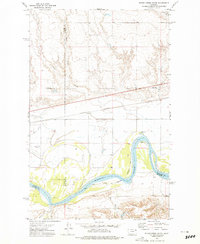
1972 · Flynn Creek South
USGS Topo · 1:24,000
Featured Places
- Wolf Point District, MT
- Oswego District, MT
- Prairie Elk Hutterite Colony, MT
- Roosevelt County, MT
- Valley County, MT