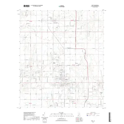
2018 Map of Foley
USGS Topo · Published 2018About this map
Foley serves as the central hub of this Baldwin County survey, showcasing a landscape transitioning from traditional agriculture to a developed coastal corridor. The map details the intricate network of local roads and expressways, including the Baldwin Beach Express and Foley Beach Expy, which frame the town's expansion. Aviation history and modern utility are prominent features, marked by the presence of Foley Municipal Airport, Resort Airport, and the Barin Naval Outlying Field to the southeast. To the north, the settlement of Summerdale sits amidst a grid of rural routes such as Co Rd 32 and Co Rd 28. The natural drainage of the region is defined by the winding paths of the Magnolia River and the Bon Secour River, providing a clear look at the hydrology of the Alabama coastal plain before these waters reach the Gulf.
Find a feature on this map
112 named features on this map. Tap any name to fly to it.
Don’t see what you’re looking for? This feature index may not catch every label — zoom into the map to look around manually.
Map Details
Editions of this 2018 Foley Map
This is the sole edition of this map. No revisions or reprints were ever made.
Other maps of this area

1920 · Robertsdale
USGS Topo · 1:62,500

1921 · Bon Secour
USGS Topo · 1:62,500

1921 · Point Clear
USGS Topo · 1:62,500

1921 · Fairhope
USGS Topo · 1:62,500

1940 · Silverhill
USGS Topo · 1:31,680

1941 · Silverhill
USGS Topo · 1:31,680

1941 · Robertsdale
USGS Topo · 1:62,500

1941 · Foley
USGS Topo · 1:62,500

1941 · Weeks Bay
USGS Topo · 1:62,500

1941 · Fairhope
USGS Topo · 1:62,500