Loading...
Loading map...1980 Map of Foley
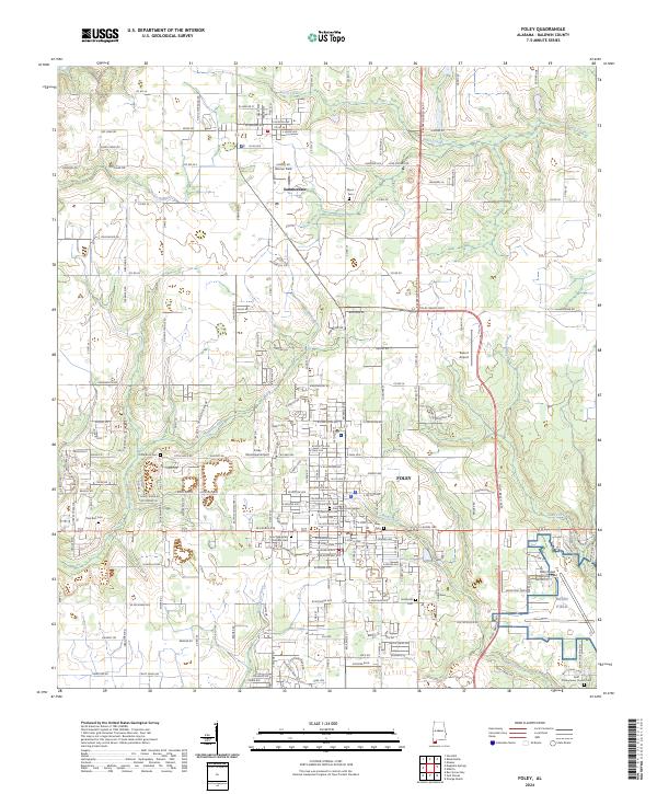
USGS Topo · Published 1986About this map
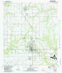
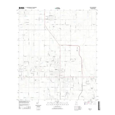
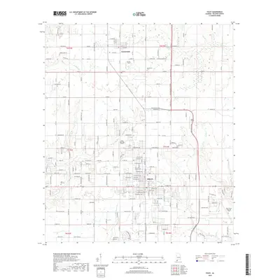
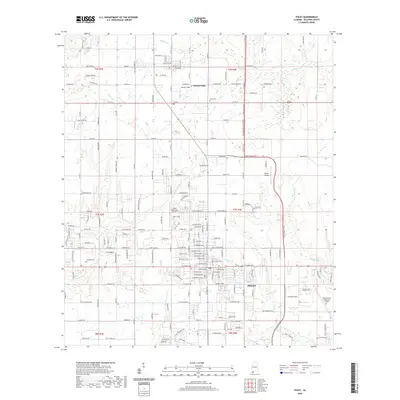
The Louisville and Nashville railroad corridor anchors the inland development of Baldwin County in the late 1970s, connecting the agrarian north at Summerdale to the growing commercial center of Foley. This survey, based on 1976 aerial photography, reveals a landscape defined by small-scale aviation and agricultural utility, featuring multiple airstrips like Wilson Field, Stryon Landing Field, and a Landing Strip north of Dixie Road.
Find a feature on this map
27 named features on this map. Tap any name to fly to it.
Don’t see what you’re looking for? This feature index may not catch every label — zoom into the map to look around manually.
Map Details
Date Portrayed1980
Date Published1986
PublisherU.S. Geological Survey
Map TypeTopographic
Scale1:24,000
Physical Dimensions23 x 26.8 inches
Editions of this 1980 Foley Map
2 editions found

Historical Maps of Foley Through Time
8 maps found
Featured Locations
Source Details
SourceU.S. Geological Survey
CopyrightPublic Domain