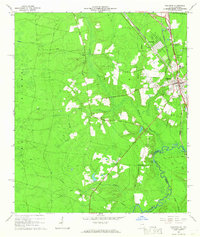
1966 Map of Folkston
USGS Topo · Published 1967About this map
The Seaboard Coast Line Railroad corridors through the eastern half of this survey, anchoring the development of Folkston and Homeland. This mid-1960s landscape shows the transition from the rail-oriented town centers to the riverine economy along the St Marys River. To the south, Traders Hill stands as a notable point of interest, situated near river access points like Moody Landing, Perry Landing, and Stanley Landing. The interior is defined by a series of watercourses including Spanish Creek and Long Branch, which cut through the terrain between the settlements of Paxton and the eastern rail towns.
Find a feature on this map
39 named features on this map. Tap any name to fly to it.
Don’t see what you’re looking for? This feature index may not catch every label — zoom into the map to look around manually.
Map Details
Editions of this 1966 Folkston Map
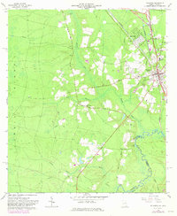
2 editions found
Other maps of this area

1917 · Boulogne
USGS Topo · 1:62,500

1917 · Hilliard
USGS Topo · 1:62,500

1918 · Folkston
USGS Topo · 1:62,500

1918 · Moniac
USGS Topo · 1:62,500

1919 · Hilliard
USGS Topo · 1:62,500

1919 · Boulogne
USGS Topo · 1:62,500

1942 · Moniac
USGS Topo · 1:62,500

1948 · Jacksonville
USGS Topo · 1:250,000

1954 · Valdosta
USGS Topo · 1:250,000

1957 · Jacksonville
USGS Topo · 1:250,000