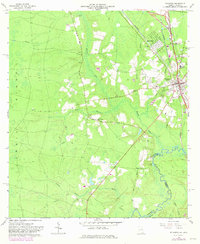
1966 Map of Folkston
USGS Topo · Published 1981About this map
The St Marys River winds along the border of Georgia and Florida, anchoring a landscape where river landings and rail lines meet. In this 1966 survey, revised in 1981, the community of Folkston serves as a central hub, flanked by the residential grids of Homeland and the historic river settlement at Traders Hill. The map details the local infrastructure of the mid-20th century, including the Seaboard Coast Line railroad and the County High Sch.
Find a feature on this map
37 named features on this map. Tap any name to fly to it.
Don’t see what you’re looking for? This feature index may not catch every label — zoom into the map to look around manually.
Map Details
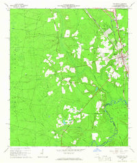
Editions of this 1966 Folkston Map
2 editions found
Other maps of this area

1917 · Boulogne
USGS Topo · 1:62,500

1917 · Hilliard
USGS Topo · 1:62,500

1918 · Folkston
USGS Topo · 1:62,500

1918 · Moniac
USGS Topo · 1:62,500

1919 · Hilliard
USGS Topo · 1:62,500

1919 · Boulogne
USGS Topo · 1:62,500

1942 · Moniac
USGS Topo · 1:62,500

1948 · Jacksonville
USGS Topo · 1:250,000

1954 · Valdosta
USGS Topo · 1:250,000

1957 · Jacksonville
USGS Topo · 1:250,000