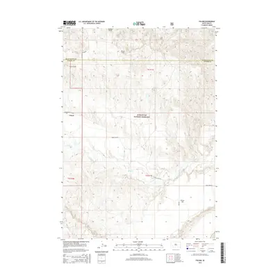
2015 Map of Folsom
USGS Topo · Published 2015About this map
Folsom sits at the junction of Folsom Rd and Lower Spring Creek Rd, marking a sparse but resilient settlement in the southwestern corner of the state. Much of the surrounding landscape is defined by the Buffalo Gap National Grassland, where the terrain transitions through a series of named draws and flats. The course of Spring Cr meanders generally eastward, carving through the topography and providing a primary water source for this arid region.
Find a feature on this map
16 named features on this map. Tap any name to fly to it.
Don’t see what you’re looking for? This feature index may not catch every label — zoom into the map to look around manually.
Map Details
Editions of this 2015 Folsom Map
This is the sole edition of this map. No revisions or reprints were ever made.
Other maps of this area

1951 · Red Shirt
USGS Topo · 1:24,000

1951 · Heutmacher Table
USGS Topo · 1:24,000

1951 · Red Shirt NE
USGS Topo · 1:24,000

1953 · Caputa
USGS Topo · 1:24,000

1953 · Folsom
USGS Topo · 1:24,000

1953 · Caputa NE
USGS Topo · 1:24,000

1953 · Caputa SW
USGS Topo · 1:24,000

1954 · Creston
USGS Topo · 1:24,000

1954 · Scenic SW
USGS Topo · 1:24,000

1955 · Hot Springs
USGS Topo · 1:250,000