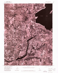
1941 Map of Folsom
USGS Topo · Published 1961About this map
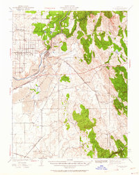
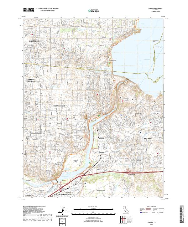
The State Prison at Represa overlooks the confluence of the North Fork American River and the South Fork American River in this 1940s landscape. Long before the modern reservoir altered the topography, the American River corridor was defined by gold-rush era sites and early valley settlements like Folsom and Natoma. The map reveals an intricate network of water management and transport, featuring the Natomas Ditch and the Southern Pacific railroad line snaking through the foothills.
Find a feature on this map
44 named features on this map. Tap any name to fly to it.
Don’t see what you’re looking for? This feature index may not catch every label — zoom into the map to look around manually.
Map Details
Editions of this 1941 Folsom Map
2 editions found

Historical Maps of Roseville Through Time
10 maps found
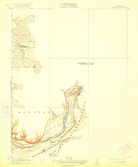
1914 Folsom
Sacramento County, CA
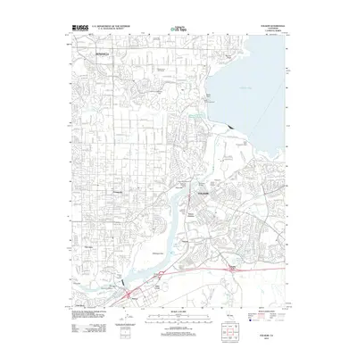
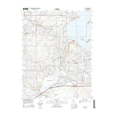
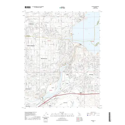
1941 Folsom
Sacramento County, CA

1944 Folsom
Sacramento County, CA
1954 Folsom
Sacramento County, CA
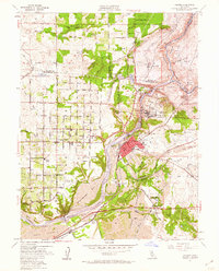
1967 Folsom
Sacramento County, CA
1975 Folsom
Sacramento County, CA
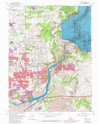
2012 Folsom
Sacramento County, CA
2015 Folsom
Sacramento County, CA
2018 Folsom
Sacramento County, CA
2022 Folsom
Sacramento County, CA