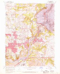
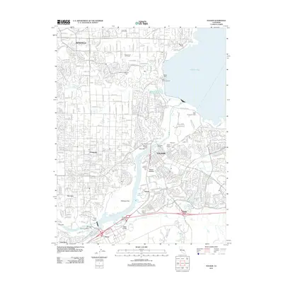
1967 Map of Folsom
USGS Topo · Published 1968About this map
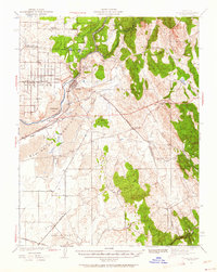
Folsom State Prison stands as a prominent fixture overlooking the American River, its presence defining the eastern corridor of this 1960s landscape. This era marks a significant transformation of the terrain, characterized by the massive water management infrastructure of Folsom Dam and Nimbus Dam, which created Folsom Lake and Lake Natoma. The map reveals the scars of earlier industrial activity through extensive Dredge Tailings south of the river, contrasting with the rapid suburban expansion in Orangevale and around Phoenix Field.
Find a feature on this map
60 named features on this map. Tap any name to fly to it.
Don’t see what you’re looking for? This feature index may not catch every label — zoom into the map to look around manually.
Map Details
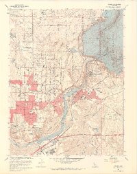
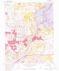
Editions of this 1967 Folsom Map
4 editions found
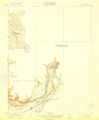
Historical Maps of Roseville Through Time
10 maps found
1914 Folsom
Sacramento County, CA
1941 Folsom
Sacramento County, CA

1944 Folsom
Sacramento County, CA
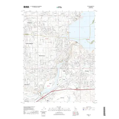
1954 Folsom
Sacramento County, CA
1967 Folsom
Sacramento County, CA
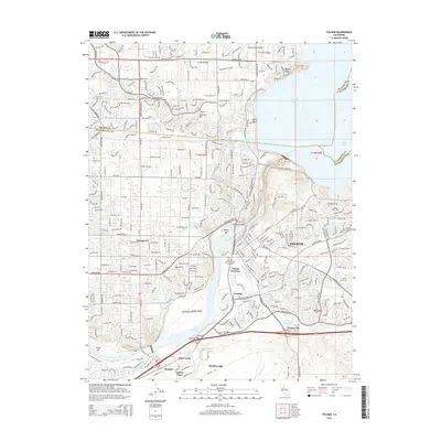
1975 Folsom
Sacramento County, CA
2012 Folsom
Sacramento County, CA
2015 Folsom
Sacramento County, CA
2018 Folsom
Sacramento County, CA
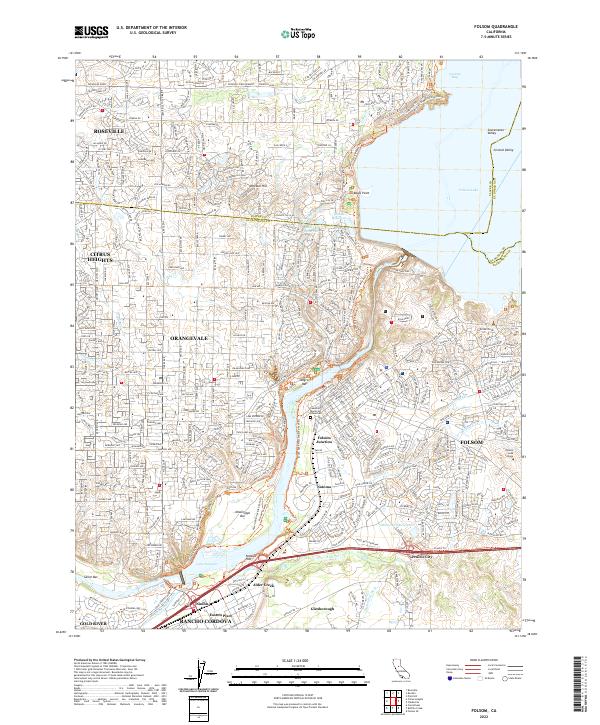
2022 Folsom
Sacramento County, CA