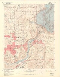
1967 Map of Folsom
USGS Topo · Published 1968About this map
The massive Folsom Lake and Lake Natoma reservoirs dominate this landscape, created by the Folsom Dam and Nimbus Dam along the American River. In the late 1960s, the region was in the midst of a transition from its gold-mining and agricultural roots to suburban expansion. While the sprawling industrial Dredge Tailings south of the river speak to the intense mineral extraction that once defined the area, the rising residential grids of Orangevale and numerous new campuses like Casa Roble High Sch signal the postwar population boom. The presence of the State Prison (Represa PO) and the Prairie City (Site) landmark highlight the deep local history of institutional and gold-rush era settlement. Significant infrastructure, including the Southern Pacific railroad's Placerville Branch, continues to bridge the gap between the historic town center of Folsom and the developing outskirts.
Find a feature on this map
71 named features on this map. Tap any name to fly to it.
Don’t see what you’re looking for? This feature index may not catch every label — zoom into the map to look around manually.
Map Details
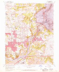
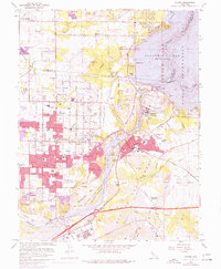
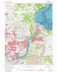
Editions of this 1967 Folsom Map
4 editions found
Other maps of this area

1891 · Sacramento
USGS Topo · 1:125,000

1892 · Sacramento
USGS Topo · 1:125,000

1893 · Sacramento
USGS Topo · 1:125,000

1902 · Fairoaks
USGS Topo · 1:62,500

1908 · Buffalo Creek
USGS Topo · 1:31,680

1910 · Roseville
USGS Topo · 1:31,680

1911 · Mills
USGS Topo · 1:31,680

1911 · Antelope
USGS Topo · 1:31,680

1914 · Folsom
USGS Topo · 1:31,680
1916 · Buffalo Creek
USGS Topo · 1:31,680