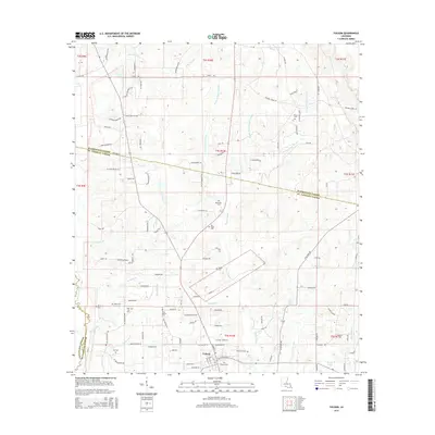
2015 Map of Folsom
USGS Topo · Published 2015About this map
Folsom serves as the central hub of this northern St. Tammany Parish landscape, situated at the confluence of several rural routes including Smith-Wallace Rd and Hay Hollow Rd. The area is defined by a dense network of tributaries feeding into the Tchefunte River to the west and the various prongs of the Bogue Falaya to the east, including the W Prong Bogue Falaya. These waterways and their associated bottomlands, such as Dismal Br, have historically dictated the placement of homesteads and family cemeteries.
Find a feature on this map
128 named features on this map. Tap any name to fly to it.
Don’t see what you’re looking for? This feature index may not catch every label — zoom into the map to look around manually.
Map Details
Editions of this 2015 Folsom Map
This is the sole edition of this map. No revisions or reprints were ever made.
Other maps of this area

1939 · Zona
USGS Topo · 1:31,680

1942 · Onville
USGS Topo · 1:31,680

1942 · Waldheim
USGS Topo · 1:31,680

1942 · Husser
USGS Topo · 1:31,680

1942 · Robert
USGS Topo · 1:31,680

1942 · Thigpen
USGS Topo · 1:31,680

1942 · Wilmer
USGS Topo · 1:31,680

1950 · Folsom
USGS Topo · 1:31,680

1950 · Franklinton
USGS Topo · 1:31,680

1954 · Folsom
USGS Topo · 1:62,500