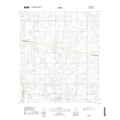
2018 Map of Folsom
USGS Topo · Published 2018About this map
Folsom sits at the heart of this landscape in northern St. Tammany Parish, where the headwaters of the Bogue Falaya and its various prongs—the W Prong, Middle Prong, and E Prong—begin their descent through the piney woods. This 2018 survey reveals a rural character defined by small family cemeteries and decentralized settlements. Numerous burial sites including Blackwell Cemetery, New Hope Cemetery, and Poplus Cemetery are scattered throughout the region, providing vital touchstones for genealogical research in this part of Louisiana.
Find a feature on this map
131 named features on this map. Tap any name to fly to it.
Don’t see what you’re looking for? This feature index may not catch every label — zoom into the map to look around manually.
Map Details
Editions of this 2018 Folsom Map
This is the sole edition of this map. No revisions or reprints were ever made.
Other maps of this area

1939 · Zona
USGS Topo · 1:31,680

1942 · Onville
USGS Topo · 1:31,680

1942 · Waldheim
USGS Topo · 1:31,680

1942 · Husser
USGS Topo · 1:31,680

1942 · Robert
USGS Topo · 1:31,680

1942 · Thigpen
USGS Topo · 1:31,680

1942 · Wilmer
USGS Topo · 1:31,680

1950 · Folsom
USGS Topo · 1:31,680

1950 · Franklinton
USGS Topo · 1:31,680

1954 · Folsom
USGS Topo · 1:62,500