Loading...
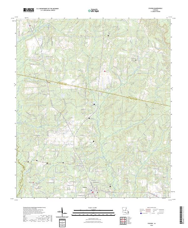
Loading map...2024 Map of Folsom
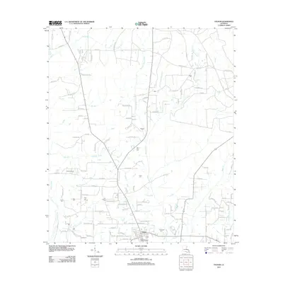
USGS Topo · Published 2024About this map
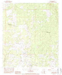
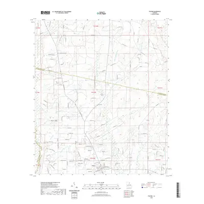
Folsom serves as the central hub of this North Shore landscape, where the headwaters of the Bogue Falaya system begin their descent toward Lake Pontchartrain. The terrain is defined by a dense network of tributaries including the West Prong, Middle Prong, and East Prong, creating a riparian corridor that has long dictated the layout of local roads and property lines.
Find a feature on this map
140 named features on this map. Tap any name to fly to it.
Don’t see what you’re looking for? This feature index may not catch every label — zoom into the map to look around manually.
Map Details
Date Portrayed2024
Date Published2024
PublisherU.S. Geological Survey
Map TypeTopographic
Scale1:24,000
Physical Dimensions24 x 29 inches
Editions of this 2024 Folsom Map
This is the sole edition of this map. No revisions or reprints were ever made.
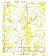
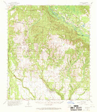
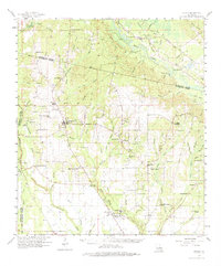
Historical Maps of Folsom Through Time
9 maps found
Featured Locations
Source Details
SourceU.S. Geological Survey
CopyrightPublic Domain