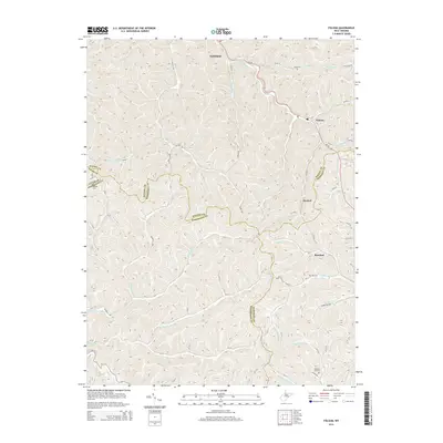
2014 Map of Folsom
USGS Topo · Published 2014About this map
Smithfield and Folsom anchor this rural landscape where the boundaries of Wetzel, Tyler, Doddridge, and Harrison counties converge. The drainage patterns of the S Fork Fishing Cr and Arches Fork dictate the settlement and road layout, with narrow valley corridors housing local post offices and community centers. Genealogical researchers will find several well-placed burial grounds, including Stout Cem, Morgan Cem, and the McIntire Fork Cem near the southern edge of the quadrangle.
Find a feature on this map
68 named features on this map. Tap any name to fly to it.
Don’t see what you’re looking for? This feature index may not catch every label — zoom into the map to look around manually.
Map Details
Editions of this 2014 Folsom Map
This is the sole edition of this map. No revisions or reprints were ever made.
Other maps of this area

1902 · Clarksburg
USGS Topo · 1:62,500

1903 · Littleton
USGS Topo · 1:62,500

1905 · Mannington
USGS Topo · 1:62,500

1905 · Centerpoint
USGS Topo · 1:62,500

1905 · Littleton
USGS Topo · 1:62,500

1910 · Clarksburg
USGS Topo · 1:62,500

1923 · Mannington
USGS Topo · 1:62,500

1923 · Clarksburg
USGS Topo · 1:62,500

1924 · Centerpoint
USGS Topo · 1:62,500

1924 · Littleton
USGS Topo · 1:62,500