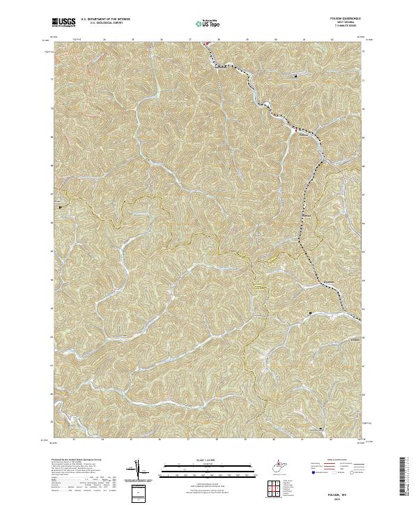
2023 Map of Folsom
USGS Topo · Published 2023About this map
Smithfield and Folsom anchor a landscape defined by the convergence of steep Appalachian ridges and the winding waters of South Fork Fishing Creek. This 2023 survey delineates a rural network where small settlements like Hartzel, Rinehart, and Wallace follow the narrow valley floors. The proximity of the Wetzel, Harrison, and Doddridge county lines highlights the intricate borders in this part of West Virginia. Local history researchers will find the placement of several family and community burial grounds, including the Stout Run Cem and the McIntire Fork Cem, essential for genealogical study. The map also traces an extensive system of rural routes such as Sycamore Fork Rd and Trader Run Rd, illustrating how modern infrastructure continues to navigate the complex topography of Beverlin Fork Hill and Chiccarillo Hollow.
Find a feature on this map
67 named features on this map. Tap any name to fly to it.
Don’t see what you’re looking for? This feature index may not catch every label — zoom into the map to look around manually.
Map Details
Editions of this 2023 Folsom Map
This is the sole edition of this map. No revisions or reprints were ever made.
Other maps of this area

1902 · Clarksburg
USGS Topo · 1:62,500

1903 · Littleton
USGS Topo · 1:62,500

1905 · Mannington
USGS Topo · 1:62,500

1905 · Centerpoint
USGS Topo · 1:62,500

1905 · Littleton
USGS Topo · 1:62,500

1910 · Clarksburg
USGS Topo · 1:62,500

1923 · Mannington
USGS Topo · 1:62,500

1923 · Clarksburg
USGS Topo · 1:62,500

1924 · Centerpoint
USGS Topo · 1:62,500

1924 · Littleton
USGS Topo · 1:62,500