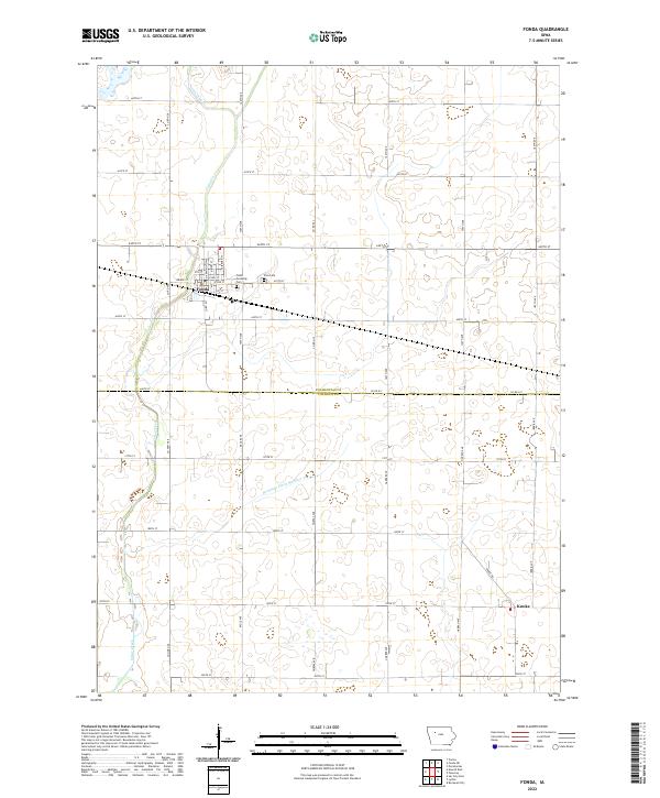
2022 Map of Fonda
USGS Topo · Published 2022About this map
Fonda serves as the primary hub of this Iowa landscape, situated at the intersection of a sprawling rural grid and the winding course of Cedar Creek. The settlement pattern reflects the late-period agricultural development of the region, where the town layout includes streets such as Bridge St, N Franklin St, and Fairburn St. Just east of the town center, local history is preserved at Cedar Township Cem and Zion Cem, while the small settlement of Knoke occupies the southeastern corner of the quadrangle near Knoke Rd.
Find a feature on this map
42 named features on this map. Tap any name to fly to it.
Don’t see what you’re looking for? This feature index may not catch every label — zoom into the map to look around manually.
Map Details
Editions of this 2022 Fonda Map
This is the sole edition of this map. No revisions or reprints were ever made.
Other maps of this area

1954 · Fort Dodge
USGS Topo · 1:250,000

1957 · Fort Dodge
USGS Topo · 1:250,000

1958 · Fort Dodge
USGS Topo · 1:250,000

1979 · Pocahontas
USGS Topo · 1:24,000

1979 · Varina
USGS Topo · 1:24,000

1979 · Fonda
USGS Topo · 1:24,000

1979 · Pomeroy
USGS Topo · 1:24,000

1979 · Newell East
USGS Topo · 1:24,000

1979 · Fonda NE
USGS Topo · 1:24,000

1980 · Lytton
USGS Topo · 1:24,000