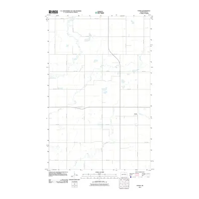
2011 Map of Fonda
USGS Topo · Published 2011About this map
Fonda sits as the primary settlement in this stretch of North Dakota prairie, where the landscape is defined by the wandering paths of intermittent watercourses. Three major drainage systems, Willow Creek, Mud Creek, and Wolf Creek, carve subtle paths across the terrain, reflecting the drainage patterns of the northern Great Plains. The map reveals a strictly regulated section-line road grid, with routes like 92nd St NE and 26th Ave NE providing the skeleton for agricultural transport and rural access. This 2011 survey captures the area’s enduring reliance on this township-and-range infrastructure, showing the relationship between small-town clusters and the surrounding watershed during a period of modern geographic documentation.
Find a feature on this map
19 named features on this map. Tap any name to fly to it.
Don’t see what you’re looking for? This feature index may not catch every label — zoom into the map to look around manually.
Map Details
Editions of this 2011 Fonda Map
This is the sole edition of this map. No revisions or reprints were ever made.
Other maps of this area

1935 · Dunseith
USGS Topo · 1:48,000

1936 · Lake Upsilon
USGS Topo · 1:48,000

1939 · Dunseith
USGS Topo · 1:62,500

1942 · Lake Upsilon
USGS Topo · 1:62,500

1953 · Devils Lake
USGS Topo · 1:250,000

1954 · Overly SE
USGS Topo · 1:24,000

1954 · Barton
USGS Topo · 1:24,000

1954 · Minot
USGS Topo · 1:250,000

1955 · Fonda
USGS Topo · 1:24,000

1955 · Thorne
USGS Topo · 1:24,000