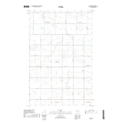
2017 Map of Fonda
USGS Topo · Published 2017About this map
Fonda sits at the heart of this North Dakota landscape, situated in Rolette County where a high concentration of prairie potholes and wetlands defines the terrain. The map captures a largely rural section of the t160n r73w and t160n r72w townships, dominated by an intricate network of section-line roads like Fonda Rd and 87th St NE. These roads navigate around a series of intermittent streams and drainage patterns, including the winding paths of Willow Cr, Mud Cr, Snake Cr, and Wolf Cr. The density of wetlands across the quadrangle reflects the glacial history of the Red River Valley hinterlands, where small basins and prairie sloughs often dictate the placement of farmsteads and agricultural boundaries.
Find a feature on this map
29 named features on this map. Tap any name to fly to it.
Don’t see what you’re looking for? This feature index may not catch every label — zoom into the map to look around manually.
Map Details
Editions of this 2017 Fonda Map
This is the sole edition of this map. No revisions or reprints were ever made.
Other maps of this area

1935 · Dunseith
USGS Topo · 1:48,000

1936 · Lake Upsilon
USGS Topo · 1:48,000

1939 · Dunseith
USGS Topo · 1:62,500

1942 · Lake Upsilon
USGS Topo · 1:62,500

1953 · Devils Lake
USGS Topo · 1:250,000

1954 · Overly SE
USGS Topo · 1:24,000

1954 · Barton
USGS Topo · 1:24,000

1954 · Minot
USGS Topo · 1:250,000

1955 · Fonda
USGS Topo · 1:24,000

1955 · Thorne
USGS Topo · 1:24,000