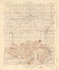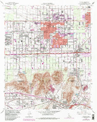
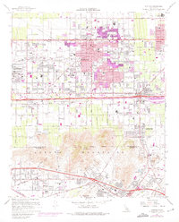
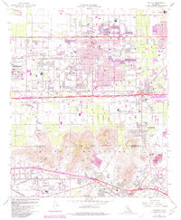
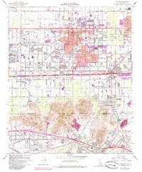
1967 Map of Fontana
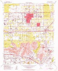
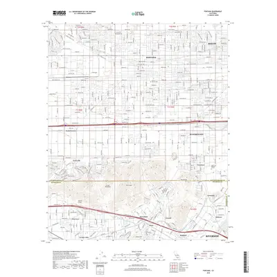
USGS Topo · Published 1985About this map
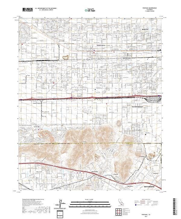
Industrial expansion and postwar suburban growth define this portrait of the Inland Empire, centered on the massive Steel Plant in western Fontana. The grid of the city is punctuated by numerous educational and civic institutions, from Fontana High Sch to the Kaiser Hospital, reflecting the rapid development of the mid-20th century. To the south, the Jurupa Mountains rise sharply, separating the industrial core from the Santa Ana River valley and settlements like Glen Avon and Rubidoux. A complex transportation network of the Southern Pacific and Union Pacific railroads, alongside the San Bernardino Freeway, highlights the area's role as a vital logistics corridor. Smaller communities such as Bloomington and the quarry-dominated Declezville appear alongside family-named landmarks like Grimes Sch and Zimmerman Sch.
Find a feature on this map
67 named features on this map. Tap any name to fly to it.
Don’t see what you’re looking for? This feature index may not catch every label — zoom into the map to look around manually.
Map Details
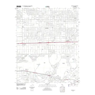
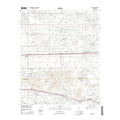
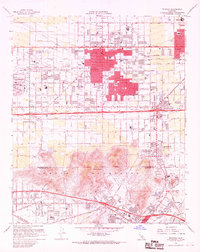
Editions of this 1967 Fontana Map
5 editions found
Historical Maps of Riverside Through Time
7 maps found