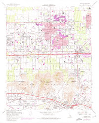
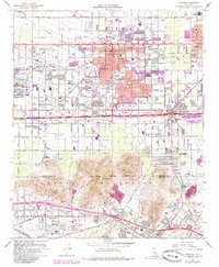
1967 Map of Fontana
USGS Topo · Published 1975About this map
Industrial expansion and suburban growth define this mid-1970s landscape, where the massive Steel Plant northwest of Fontana serves as a major regional anchor. The map reveals a corridor of activity stretching along the San Bernardino Freeway and Foothill Blvd, with pink-shaded revisions highlighting significant urban development around Bloomington and Rialto. To the south, the Jurupa Mountains and Mount Jurupa create a natural barrier, while the Santa Ana River marks the southern border near Rubidoux. Evidence of the area's extractive economy is visible in the numerous excavations, including the Crestmore Quarry and a large Cement Plant. Genealogy researchers can find many local landmarks such as Green Acres Memorial Gardens Cem and several schools ranging from Eisenhower High Sch to Jurupa Hills Sch, alongside institutional hubs like the County Museum.
Find a feature on this map
69 named features on this map. Tap any name to fly to it.
Don’t see what you’re looking for? This feature index may not catch every label — zoom into the map to look around manually.
Map Details
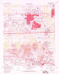
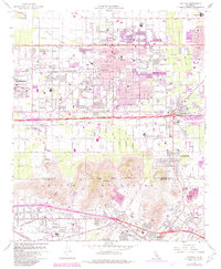
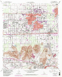
Editions of this 1967 Fontana Map
5 editions found
Other maps of this area

1896 · San Bernardino
USGS Topo · 1:62,500

1897 · Cucamonga
USGS Topo · 1:62,500

1898 · San Bernardino
USGS Topo · 1:62,500

1900 · Cucamonga
USGS Topo · 1:62,500

1901 · Southern California Sheet No. 1
USGS Topo · 1:250,000

1901 · San Bernardino
USGS Topo · 1:62,500

1901 · Elsinore
USGS Topo · 1:125,000

1901 · Riverside
USGS Topo · 1:62,500

1902 · Corona
USGS Topo · 1:125,000

1903 · Cucamonga
USGS Topo · 1:62,500