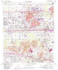
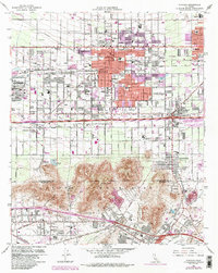
1967 Map of Fontana
USGS Topo · Published 1985About this map
The massive Steel Plant dominates the western industrial corridor of this mid-century landscape, signaling the heavy manufacturing era of Fontana. This region is a complex web of transportation and industry, where the Atchison Topeka and Santa Fe, Southern Pacific, and Union Pacific railroads converge to serve the local economy. Beyond the industrial zones, the map reveals a rapidly expanding suburban network of schools such as Eisenhower High Sch and Sequoia Jr High Sch, alongside numerous neighborhood parks like Cypress Park.
Find a feature on this map
79 named features on this map. Tap any name to fly to it.
Don’t see what you’re looking for? This feature index may not catch every label — zoom into the map to look around manually.
Map Details
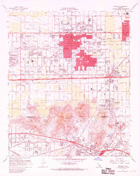
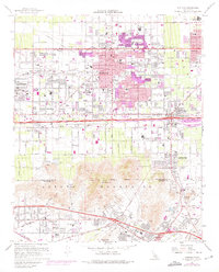
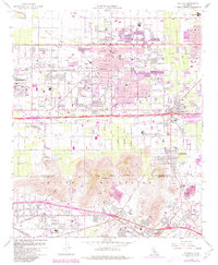
Editions of this 1967 Fontana Map
5 editions found
Other maps of this area

1896 · San Bernardino
USGS Topo · 1:62,500

1897 · Cucamonga
USGS Topo · 1:62,500

1898 · San Bernardino
USGS Topo · 1:62,500

1900 · Cucamonga
USGS Topo · 1:62,500

1901 · Southern California Sheet No. 1
USGS Topo · 1:250,000

1901 · San Bernardino
USGS Topo · 1:62,500

1901 · Elsinore
USGS Topo · 1:125,000

1901 · Riverside
USGS Topo · 1:62,500

1902 · Corona
USGS Topo · 1:125,000

1903 · Cucamonga
USGS Topo · 1:62,500