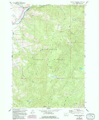
1962 Map of Foolhen Mountain
USGS Topo · Published 1994About this map
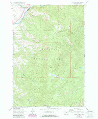
The Big Hole River cuts through the northwest corner of this terrain, marking the boundary where Deer Lodge Co Beaverhead Co meet. The landscape is defined by the high-elevation reaches of the Beaverhead National Forest, where resource extraction and forest management shaped the local economy. Evidence of industrial activity is centered around Calvert Hill, specifically the Calvert Mine and multiple prospects tucked along the ridges. Education and community life once centered on the Fishtrap Sch, located near the Fishtrap (Site) and the Fishtrap Campground. Higher in the mountains, the Foolhen Ranger Cabin served as a remote outpost below Foolhen Mountain. The map also details a network of high-country water sources, including Ferguson Lake, Johanna Lake, and Trident Meadows, connected by various pack trails and the Pioneer Loop Nat Rec Tr.
Find a feature on this map
38 named features on this map. Tap any name to fly to it.
Don’t see what you’re looking for? This feature index may not catch every label — zoom into the map to look around manually.
Map Details
Editions of this 1962 Foolhen Mountain Map
3 editions found
Other maps of this area

1955 · Dillon
USGS Topo · 1:250,000

1957 · Dillon
USGS Topo · 1:250,000

1958 · Dillon
USGS Topo · 1:250,000

1962 · Dillon
USGS Topo · 1:250,000

1962 · Lincoln Gulch
USGS Topo · 1:24,000

1962 · Lower Seymour Lake
USGS Topo · 1:24,000

1962 · Pine Hill
USGS Topo · 1:24,000
1962 · Dickie Hills
USGS Topo · 1:24,000
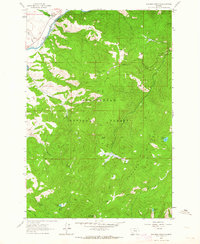
1962 · Foolhen Mountain
USGS Topo · 1:24,000

1962 · Proposal Rock
USGS Topo · 1:24,000