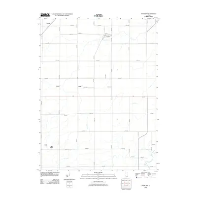
2012 Map of Foosland
USGS Topo · Published 2012About this map
The Sangamon River meanders through the southeastern corner of this central Illinois landscape, defining the local drainage alongside several significant tributaries. Small agricultural hubs and rural settlements are distributed across the grid-aligned road network, including the village of Foosland in the north and the hamlets of Lotus, Dickerson, and Osman further south. This 2012 survey illustrates a classic Midwestern prairie township structure where family history is anchored by sites like Naylor Cem and Shiloh Cem.
Find a feature on this map
35 named features on this map. Tap any name to fly to it.
Don’t see what you’re looking for? This feature index may not catch every label — zoom into the map to look around manually.
Map Details
Editions of this 2012 Foosland Map
This is the sole edition of this map. No revisions or reprints were ever made.
Other maps of this area

1907 · Mahomet
USGS Topo · 1:62,500

1928 · Gibson City
USGS Topo · 1:62,500

1937 · Monticello
USGS Topo · 1:48,000

1943 · Monticello
USGS Topo · 1:62,500

1952 · Arrowsmith
USGS Topo · 1:62,500

1957 · Gibson City
USGS Topo · 1:62,500

1957 · Rising
USGS Topo · 1:24,000

1957 · Mahomet
USGS Topo · 1:62,500

1958 · Peoria
USGS Topo · 1:250,000

1961 · Peoria
USGS Topo · 1:250,000