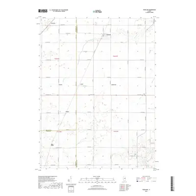
2018 Map of Foosland
USGS Topo · Published 2018About this map
Foosland and its surrounding agricultural landscape are defined by a grid of rural roads and small settlements that straddle the boundaries of Champaign, McLean, and Piatt counties. This portion of the Illinois prairie is drained by the winding Sangamon River in the southeast and the various branches of Lone Tree Cr that cut through the flat terrain. The map documents several named points that once functioned as local community hubs or rail stops, including Lotus, Osman, and Blue Ridge.
Find a feature on this map
42 named features on this map. Tap any name to fly to it.
Don’t see what you’re looking for? This feature index may not catch every label — zoom into the map to look around manually.
Map Details
Editions of this 2018 Foosland Map
This is the sole edition of this map. No revisions or reprints were ever made.
Other maps of this area

1907 · Mahomet
USGS Topo · 1:62,500

1928 · Gibson City
USGS Topo · 1:62,500

1937 · Monticello
USGS Topo · 1:48,000

1943 · Monticello
USGS Topo · 1:62,500

1952 · Arrowsmith
USGS Topo · 1:62,500

1957 · Gibson City
USGS Topo · 1:62,500

1957 · Rising
USGS Topo · 1:24,000

1957 · Mahomet
USGS Topo · 1:62,500

1958 · Peoria
USGS Topo · 1:250,000

1961 · Peoria
USGS Topo · 1:250,000