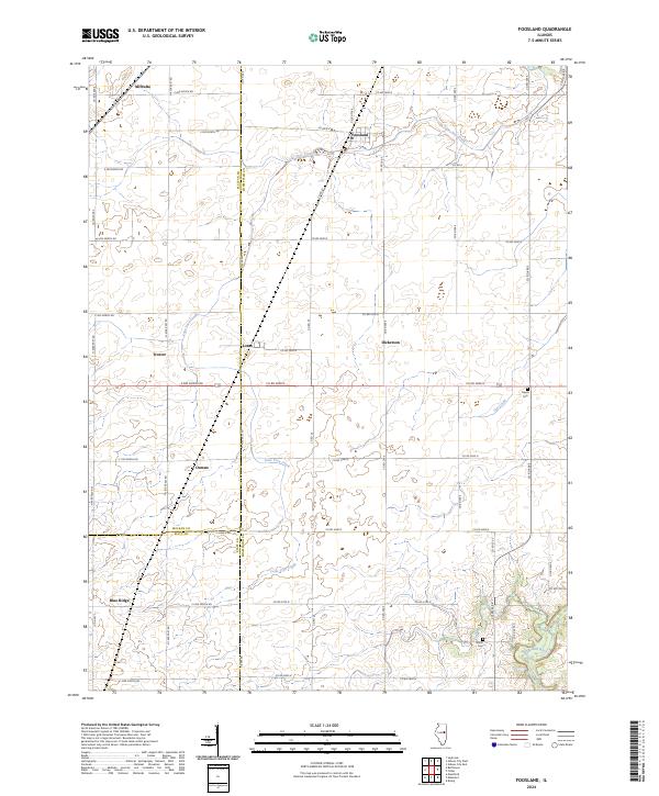
2024 Map of Foosland
USGS Topo · Published 2024About this map
The Sangamon River meanders through the southeast corner of this East Central Illinois landscape, where the flat agricultural plains of Champaign, McLean, and Piatt counties meet. Small rural clusters and namesake junctions like Foosland and Lotus define the settlement pattern, connected by a rigid grid of section-line roads such as Co Rd 8 and Co Rd 3000 N. This 2024 survey captures the persistence of small community markers, including Osman and Blue Ridge, alongside established burial grounds like Shiloh Cem.
Find a feature on this map
52 named features on this map. Tap any name to fly to it.
Don’t see what you’re looking for? This feature index may not catch every label — zoom into the map to look around manually.
Map Details
Editions of this 2024 Foosland Map
This is the sole edition of this map. No revisions or reprints were ever made.
Other maps of this area

1907 · Mahomet
USGS Topo · 1:62,500

1928 · Gibson City
USGS Topo · 1:62,500

1937 · Monticello
USGS Topo · 1:48,000

1943 · Monticello
USGS Topo · 1:62,500

1952 · Arrowsmith
USGS Topo · 1:62,500

1957 · Gibson City
USGS Topo · 1:62,500

1957 · Rising
USGS Topo · 1:24,000

1957 · Mahomet
USGS Topo · 1:62,500

1958 · Peoria
USGS Topo · 1:250,000

1961 · Peoria
USGS Topo · 1:250,000