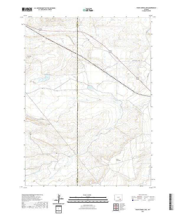
2021 Map of Foote Creek Lake
USGS Topo · Published 2021About this map
The high plains of the Carbon and Albany county line are defined by a network of drainage and water management, where Foote Cr meanders through the arid landscape toward Foote Creek Lake. This topography is marked by a sudden elevation change at Foote Creek Rim in the southern portion of the quadrangle. Agricultural and industrial infrastructure is visible through the Thornton Ditch, which feeds into Thornton Lake, indicating the critical role of water diversion in this section of Wyoming. To the northwest, Iron Hill rises above the small Iron Hill Lake, while a sparse network of roads, including Co Rd 67 and Marshall Rd, provides the only terrestrial access through these township and range sections.
Find a feature on this map
15 named features on this map. Tap any name to fly to it.
Don’t see what you’re looking for? This feature index may not catch every label — zoom into the map to look around manually.
Map Details
Editions of this 2021 Foote Creek Lake Map
This is the sole edition of this map. No revisions or reprints were ever made.
Other maps of this area

1915 · Como Ridge
USGS Topo · 1:48,000

1918 · Como Ridge
USGS Topo · 1:62,500

1954 · Cheyenne
USGS Topo · 1:250,000

1954 · Rawlins
USGS Topo · 1:250,000

1955 · Pine Tree Ridge
USGS Topo · 1:24,000

1955 · Rock River
USGS Topo · 1:24,000

1955 · Wilcox
USGS Topo · 1:24,000

1958 · Rawlins
USGS Topo · 1:250,000

1958 · Cheyenne
USGS Topo · 1:250,000

1958 · Mc Fadden
USGS Topo · 1:24,000