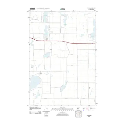
2010 Map of Forada
USGS Topo · Published 2010About this map
Forada serves as the central settlement in this Douglas County landscape, situated just north of the expansive Maple Lake. The geography is defined by a dense concentration of water bodies including Lake Victoria, Lake Burgan, and Union Lake, which are interconnected by a network of local roads such as County Hwy-23 and County Hwy-17. This 2010 survey illustrates the transition from lakeside residential pockets to broader agricultural tracks, with the Judicial Ditch Number Four providing managed drainage in the eastern section.
Find a feature on this map
65 named features on this map. Tap any name to fly to it.
Don’t see what you’re looking for? This feature index may not catch every label — zoom into the map to look around manually.
Map Details
Editions of this 2010 Forada Map
This is the sole edition of this map. No revisions or reprints were ever made.
Other maps of this area

1953 · Saint Cloud
USGS Topo · 1:250,000

1957 · Saint Cloud
USGS Topo · 1:250,000

1958 · Saint Cloud
USGS Topo · 1:250,000

1965 · Westport
USGS Topo · 1:24,000

1966 · Alexandria West
USGS Topo · 1:24,000

1966 · Osakis
USGS Topo · 1:24,000

1966 · Lake Osakis West
USGS Topo · 1:24,000

1966 · Lake Mary
USGS Topo · 1:24,000

1966 · Alexandria East
USGS Topo · 1:24,000

1966 · Forada
USGS Topo · 1:24,000