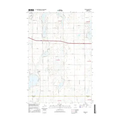
2016 Map of Forada
USGS Topo · Published 2016About this map
Glacial lakes and modern infrastructure define the landscape south of Alexandria, where the southern edge of the city meets the small community of Forada. The terrain is characterized by a dense concentration of water bodies, including Lake Victoria, Lake Burgan, and Union Lake, which are surrounded by a network of local roads such as Hazel Hill Rd SE and Co Rd 106. Historical markers of settlement persist in the landscape, most notably the Hudson Cem located north of Childs Lake. Near the northern border, the Alexandria Technical Coll serves as a significant institutional landmark. To the south, the county line between Douglas Co and Pope Co runs through a region of smaller wetlands and ponds, including Lovers Lake, while the eastern portion of the sheet is drained by the Judicial Ditch Number Four.
Find a feature on this map
91 named features on this map. Tap any name to fly to it.
Don’t see what you’re looking for? This feature index may not catch every label — zoom into the map to look around manually.
Map Details
Editions of this 2016 Forada Map
This is the sole edition of this map. No revisions or reprints were ever made.
Other maps of this area

1953 · Saint Cloud
USGS Topo · 1:250,000

1957 · Saint Cloud
USGS Topo · 1:250,000

1958 · Saint Cloud
USGS Topo · 1:250,000

1965 · Westport
USGS Topo · 1:24,000

1966 · Alexandria West
USGS Topo · 1:24,000

1966 · Osakis
USGS Topo · 1:24,000

1966 · Lake Osakis West
USGS Topo · 1:24,000

1966 · Lake Mary
USGS Topo · 1:24,000

1966 · Alexandria East
USGS Topo · 1:24,000

1966 · Forada
USGS Topo · 1:24,000