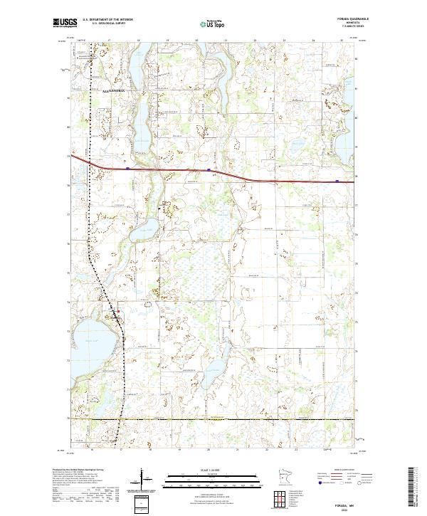
2022 Map of Forada
USGS Topo · Published 2022About this map
The southern outskirts of Alexandria and the village of Forada anchor this map of the central Minnesota lake country, which captures the region's characteristic mix of water bodies and glacial terrain. The northern portion features the Alexandria Technical and Community College and residential development around Lake Victoria and Lake Burgan. Moving south, the landscape becomes increasingly dominated by smaller basins and wetlands, including Union Lake, Childs Lake, and the larger Maple Lake adjacent to Forada. A unique insight into the area's water management is visible via the Judicial Ditch Number Four near the boundary of Douglas and Pope Counties. This network of ditches and lakes, including Lovers Lake and Mud Lake, reflects a long-standing history of drainage and agricultural land use in the county. Local heritage is further marked by the Hudson Cem and a dense network of county roads like Co Rd 46 and Co Rd 31 SE.
Find a feature on this map
51 named features on this map. Tap any name to fly to it.
Don’t see what you’re looking for? This feature index may not catch every label — zoom into the map to look around manually.
Map Details
Editions of this 2022 Forada Map
This is the sole edition of this map. No revisions or reprints were ever made.
Other maps of this area

1953 · Saint Cloud
USGS Topo · 1:250,000

1957 · Saint Cloud
USGS Topo · 1:250,000

1958 · Saint Cloud
USGS Topo · 1:250,000

1965 · Westport
USGS Topo · 1:24,000

1966 · Alexandria West
USGS Topo · 1:24,000

1966 · Osakis
USGS Topo · 1:24,000

1966 · Lake Osakis West
USGS Topo · 1:24,000

1966 · Lake Mary
USGS Topo · 1:24,000

1966 · Alexandria East
USGS Topo · 1:24,000

1966 · Forada
USGS Topo · 1:24,000