
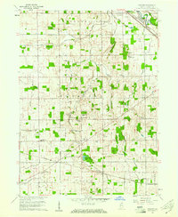
1960 Map of Foraker
USGS Topo · Published 1961About this map
The settlement of Foraker and the surrounding rural townships of Union and Harrison reveal a landscape deeply defined by agricultural drainage and congregational life in the early 1960s. The terrain is intricately etched with a network of named waterways including Yellow Creek, Little Yellow Creek, and Shaffer Ditch, which support the productive farmland of Elkhart County. For genealogists and local historians, the sheet is exceptionally rich in religious and community landmarks, featuring numerous country churches such as German Ch, Ebenezer Ch, and Inbody Ch.
Find a feature on this map
54 named features on this map. Tap any name to fly to it.
Don’t see what you’re looking for? This feature index may not catch every label — zoom into the map to look around manually.
Map Details
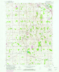
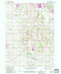
Editions of this 1960 Foraker Map
4 editions found
Other maps of this area

1951 · Milford
USGS Topo · 1:24,000

1953 · Fort Wayne
USGS Topo · 1:250,000

1953 · Chicago
USGS Topo · 1:250,000

1956 · Fort Wayne
USGS Topo · 1:250,000

1957 · Chicago
USGS Topo · 1:250,000

1958 · Nappanee West
USGS Topo · 1:24,000

1958 · Osceola
USGS Topo · 1:24,000

1958 · Nappanee East
USGS Topo · 1:24,000

1959 · Goshen
USGS Topo · 1:24,000
1961 · Wakarusa
USGS Topo · 1:24,000