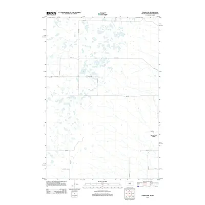
2012 Map of Forbes NW
USGS Topo · Published 2012About this map
Saint Peters Cem sits on the western edge of this landscape, serving as a quiet focal point in a region defined by a grid of prairie section lines. This 2012 survey illustrates the remote character of the borderlands between North Dakota and South Dakota, where the terrain is punctuated by numerous small seasonal basins and wetlands typical of the Missouri Coteau. In the southeastern quadrant, the presence of the Spring Creek Colony indicates the persistence of communal agricultural settlements in this rural corridor. The infrastructure is primarily composed of gravel roads and section-line trails, including 98th St SE and 365th Ave, which provide the essential skeleton for the large-scale farming operations that dominate the area. The map documents a sparsely populated but active agricultural frontier where the arrangement of farmsteads and specialized colonies follows the rigid geometry of the Public Land Survey System.
Find a feature on this map
16 named features on this map. Tap any name to fly to it.
Don’t see what you’re looking for? This feature index may not catch every label — zoom into the map to look around manually.
Map Details
Editions of this 2012 Forbes NW Map
This is the sole edition of this map. No revisions or reprints were ever made.
Other maps of this area

1896 · Edgeley
USGS Topo · 1:125,000

1899 · Ellendale
USGS Topo · 1:125,000

1925 · Edgeley
USGS Topo · 1:125,000

1953 · Jamestown
USGS Topo · 1:250,000

1954 · Aberdeen
USGS Topo · 1:250,000

1956 · Aberdeen
USGS Topo · 1:250,000

1956 · Jamestown
USGS Topo · 1:250,000

1968 · Long Lake SE
USGS Topo · 1:24,000

1968 · Forbes
USGS Topo · 1:24,000

1968 · Long Lake NE
USGS Topo · 1:24,000
Featured Places
- Lorraine Township, ND
- Albertha Township, ND
- Spring Creek Hutterite Colony, SD
- Dickey County, ND
- McPherson County, SD