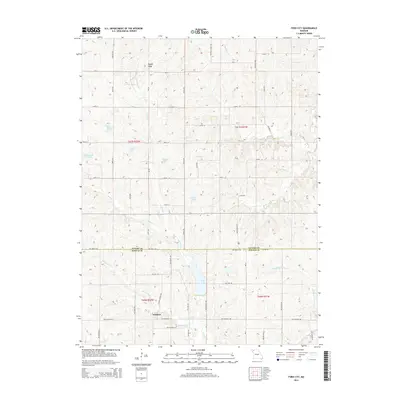
2014 Map of Ford City
USGS Topo · Published 2014About this map
Ford City and the crossroads of Winslow anchor this rural landscape along the Gentry and DeKalb County line. The terrain is defined by a dense network of tributaries including Lost Creek, Sandy Hook Cr, and Middle Fork Lost Cr, which feed into several small reservoirs such as King Lake and Pate Lake. These water bodies, alongside others like Turpin Lake and Waltemath Lake, reflect the agricultural and water management patterns of the region. The map documents an intricate grid of rural roads and trails, such as Jameson Trl and Walker School Trl, which connect scattered homesteads to State Highway V and State Highway H. The presence of numerous named lakes suggests a landscape heavily modified for local irrigation or recreation, providing a detailed look at land use in Northwest Missouri during the early 21st century.
Find a feature on this map
58 named features on this map. Tap any name to fly to it.
Don’t see what you’re looking for? This feature index may not catch every label — zoom into the map to look around manually.
Map Details
Editions of this 2014 Ford City Map
This is the sole edition of this map. No revisions or reprints were ever made.
Other maps of this area

1923 · Clarksdale
USGS Topo · 1:62,500

1923 · Maysville
USGS Topo · 1:62,500

1925 · Clarksdale
USGS Topo · 1:62,500

1925 · Stanberry
USGS Topo · 1:62,500

1925 · Maysville
USGS Topo · 1:62,500

1925 · Darlington
USGS Topo · 1:62,500

1939 · Stanberry
USGS Topo · 1:62,500

1943 · Stanberry
USGS Topo · 1:62,500

1950 · Kansas City
USGS Topo · 1:250,000

1950 · Darlington
USGS Topo · 1:62,500