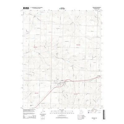
2015 Map of Fordland
USGS Topo · Published 2015About this map
Fordland and Diggins anchor this Ozark Plateau landscape, which is marked by a complex network of creeks and small hollows in Webster County. The terrain transitions from the headwaters of Panther Cr and Compton Br in the north to Dry Fork and Greasy Cr in the south, reflecting the area's significance as a local watershed. This 2015 study documents several family and community landmarks, including the Steward Cemetery, Mount Olive Cemetery, and Zion Cemetery, which are essential for genealogists tracing regional heritage.
Find a feature on this map
108 named features on this map. Tap any name to fly to it.
Don’t see what you’re looking for? This feature index may not catch every label — zoom into the map to look around manually.
Map Details
Editions of this 2015 Fordland Map
This is the sole edition of this map. No revisions or reprints were ever made.
Other maps of this area

1884 · Springfield
USGS Topo · 1:125,000

1886 · Springfield
USGS Topo · 1:125,000

1937 · Ozark
USGS Topo · 1:48,000

1939 · Fordland
USGS Topo · 1:62,500

1942 · Fordland
USGS Topo · 1:62,500

1943 · Ozark
USGS Topo · 1:62,500

1945 · Ozark
USGS Topo · 1:62,500

1946 · Niangua
USGS Topo · 1:62,500

1947 · Strafford
USGS Topo · 1:62,500

1948 · Niangua
USGS Topo · 1:62,500