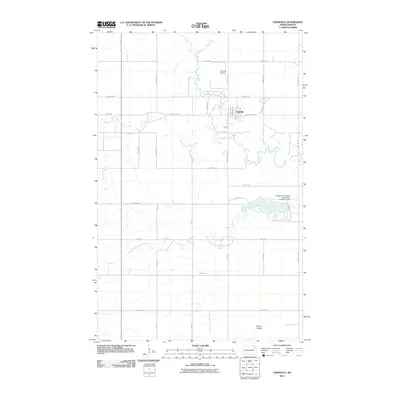
2011 Map of Fordville
USGS Topo · Published 2011About this map
Fordville sits at the heart of this Walsh County landscape, where the braided drainage of the Forest River system converges. The map illustrates a highly organized agricultural grid defined by corridors like County Hwy-19 and County Rd 12B, which facilitate the movement of goods through this rural northern plains environment. A significant hydrological feature is the Middle South Branch Forest River Number 4 Dam, which creates a substantial reservoir in the eastern portion of the quadrangle. This water management infrastructure, alongside the winding paths of the North Branch Forest River and South Branch Forest River, demonstrates the intensive efforts to control and utilize the region's water resources for local industry and farming. Further north, the Fordville Airport serves as a modern transportation node for this prairie community.
Find a feature on this map
36 named features on this map. Tap any name to fly to it.
Don’t see what you’re looking for? This feature index may not catch every label — zoom into the map to look around manually.
Map Details
Editions of this 2011 Fordville Map
This is the sole edition of this map. No revisions or reprints were ever made.
Other maps of this area

1952 · Thief River Falls
USGS Topo · 1:250,000

1956 · Thief River Falls
USGS Topo · 1:250,000

1957 · Thief River Falls
USGS Topo · 1:250,000

1963 · Orr
USGS Topo · 1:24,000

1963 · Pleasant Valley
USGS Topo · 1:24,000

1963 · Fordville SE
USGS Topo · 1:24,000

1963 · Pisek
USGS Topo · 1:24,000

1963 · Fordville
USGS Topo · 1:24,000
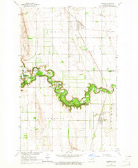
1963 · Inkster
USGS Topo · 1:24,000

1967 · Thief River Falls
USGS Topo · 1:250,000