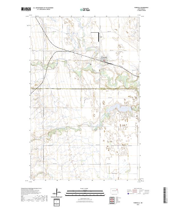
2024 Map of Fordville
USGS Topo · Published 2024About this map
Fordville serves as the central hub of this eastern North Dakota landscape, where the braided drainage of the Forest River system converges. The town is situated just south of the North Branch Forest River and is flanked by the Middle Branch Forest River to the west. This modern topographic survey illustrates a rural geography defined by a rigid section-line road grid, including Co RD 19 and Co RD 128, which contrast with the wandering paths of the river branches.
Find a feature on this map
39 named features on this map. Tap any name to fly to it.
Don’t see what you’re looking for? This feature index may not catch every label — zoom into the map to look around manually.
Map Details
Editions of this 2024 Fordville Map
This is the sole edition of this map. No revisions or reprints were ever made.
Other maps of this area

1952 · Thief River Falls
USGS Topo · 1:250,000

1956 · Thief River Falls
USGS Topo · 1:250,000

1957 · Thief River Falls
USGS Topo · 1:250,000

1963 · Orr
USGS Topo · 1:24,000

1963 · Pleasant Valley
USGS Topo · 1:24,000

1963 · Fordville SE
USGS Topo · 1:24,000

1963 · Pisek
USGS Topo · 1:24,000

1963 · Fordville
USGS Topo · 1:24,000
1963 · Inkster
USGS Topo · 1:24,000

1967 · Thief River Falls
USGS Topo · 1:250,000