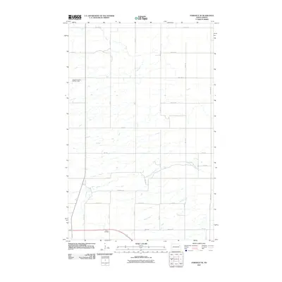
2011 Map of Fordville SE
USGS Topo · Published 2011About this map
The Niagara Cemetery sits at the southern edge of this Grand Forks County landscape, marking a quiet corner of the plains as they appeared in the early 21st century. The terrain is defined by the wandering paths of the North Branch Turtle River and Whisky Creek, which cut across a rigid grid of rural roads such as Plymouth Ave and Bible St. Near the western boundary, the Upper Turtle River Number 2 Dam regulates the local flow, creating a distinct hydrological focal point in an otherwise agricultural expanse. This survey captures the intersection of organized township surveying and the natural drainage patterns of the Red River Valley, where long-established section lines and named thoroughfares like Niagara St provide a precise framework for local history and land ownership research.
Find a feature on this map
28 named features on this map. Tap any name to fly to it.
Don’t see what you’re looking for? This feature index may not catch every label — zoom into the map to look around manually.
Map Details
Editions of this 2011 Fordville SE Map
This is the sole edition of this map. No revisions or reprints were ever made.
Other maps of this area

1936 · Larimore
USGS Topo · 1:62,500

1939 · Niagara
USGS Topo · 1:62,500

1952 · Grand Forks
USGS Topo · 1:250,000

1952 · Thief River Falls
USGS Topo · 1:250,000

1956 · Thief River Falls
USGS Topo · 1:250,000

1956 · Grand Forks
USGS Topo · 1:250,000

1957 · Thief River Falls
USGS Topo · 1:250,000

1963 · Orr
USGS Topo · 1:24,000

1963 · Fordville SE
USGS Topo · 1:24,000

1963 · Larimore West
USGS Topo · 1:24,000