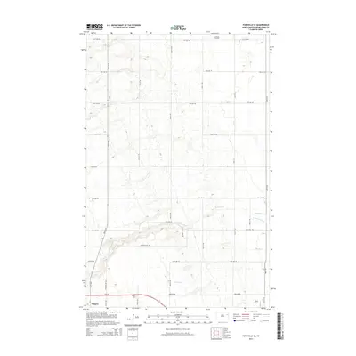
2014 Map of Fordville SE
USGS Topo · Published 2014About this map
Niagara anchors the southwestern corner of this Grand Forks County landscape, where the prairie grid of the Red River Valley is incised by meandering watercourses. The local topography is defined by the drainage of the N Br Turtle River and Whisky Cr, which break the regularity of the section lines as they flow eastward. Cultural landmarks are sparse but significant for local history, including the Niagara Cem located just north of the settlement and the small landing strip at Kyllo Airport to the southeast. The map reveals a highly structured agricultural network, with named rural routes such as Bible St Ne and Camp Ave Ne providing access to the vast farmsteads. To the north, the terrain transitions into the more dramatic relief of Skunk Coulee, illustrating the transition from flat till plain to the eroded drainage features characteristic of the region.
Find a feature on this map
27 named features on this map. Tap any name to fly to it.
Don’t see what you’re looking for? This feature index may not catch every label — zoom into the map to look around manually.
Map Details
Editions of this 2014 Fordville SE Map
This is the sole edition of this map. No revisions or reprints were ever made.
Other maps of this area

1936 · Larimore
USGS Topo · 1:62,500

1939 · Niagara
USGS Topo · 1:62,500

1952 · Grand Forks
USGS Topo · 1:250,000

1952 · Thief River Falls
USGS Topo · 1:250,000

1956 · Thief River Falls
USGS Topo · 1:250,000

1956 · Grand Forks
USGS Topo · 1:250,000

1957 · Thief River Falls
USGS Topo · 1:250,000

1963 · Orr
USGS Topo · 1:24,000

1963 · Fordville SE
USGS Topo · 1:24,000

1963 · Larimore West
USGS Topo · 1:24,000