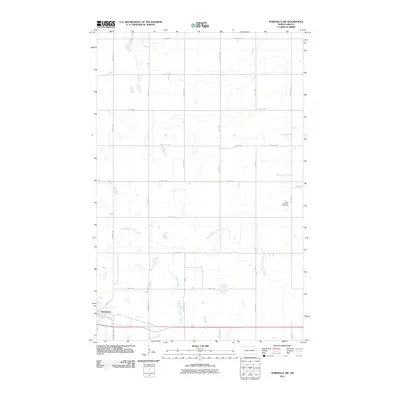
2011 Map of Fordville SW
USGS Topo · Published 2011About this map
Petersburg sits at the southern edge of this Nelson County landscape, where the town layout meets a vast network of section-line roads and prairie drainage. The rural character of the region is defined by the winding course of the North Branch Turtle River, which meanders across the central and eastern portions of the map. To the northeast, the Saint Andrews Cemetery serves as a significant landmark for those researching local family history and genealogy in this corner of North Dakota. The transport system relies on a strict grid of gravel and paved routes, including County Rd 5 and County Rd 14A, which connect isolated farmsteads to the commercial hub of the town. This survey illustrates the modern agricultural footprint of the area, showing how the drainage patterns of the river interact with contemporary road classifications and land use.
Find a feature on this map
22 named features on this map. Tap any name to fly to it.
Don’t see what you’re looking for? This feature index may not catch every label — zoom into the map to look around manually.
Map Details
Editions of this 2011 Fordville SW Map
This is the sole edition of this map. No revisions or reprints were ever made.
Other maps of this area

1939 · Niagara
USGS Topo · 1:62,500

1942 · McVille
USGS Topo · 1:62,500

1952 · Grand Forks
USGS Topo · 1:250,000

1952 · Thief River Falls
USGS Topo · 1:250,000

1952 · New Rockford
USGS Topo · 1:250,000

1953 · Devils Lake
USGS Topo · 1:250,000

1956 · New Rockford
USGS Topo · 1:250,000

1956 · Thief River Falls
USGS Topo · 1:250,000

1956 · Devils Lake
USGS Topo · 1:250,000

1956 · Grand Forks
USGS Topo · 1:250,000