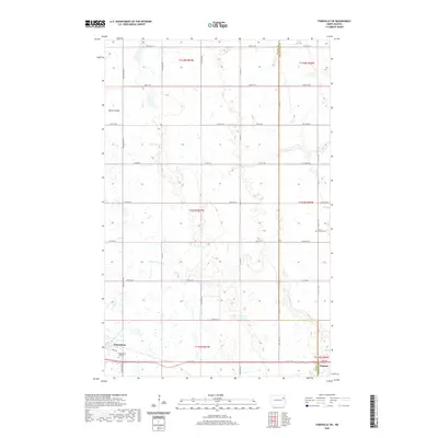
2020 Map of Fordville SW
USGS Topo · Published 2020About this map
Petersburg sits at the southwestern edge of this survey, established as a critical rail and transit hub along the border of Nelson and Grand Forks counties. The landscape is defined by the agricultural grid of the High Plains, where the headwaters of the N Br Turtle River carve subtle drainage paths through the township sections. These small watercourses, along with terrain features like Skunk Coulee in the northwest, provided the essential drainage for the region's productive wheat and grain farms. Evidence of long-standing community roots is found at the Saint Andrews Cem to the east and the Petersburg City Cem, which serve the local families. The map also captures the small settlement of Niagara in the southeastern corner, illustrating the persistent importance of these prairie outposts along the primary east-west road corridors.
Find a feature on this map
40 named features on this map. Tap any name to fly to it.
Don’t see what you’re looking for? This feature index may not catch every label — zoom into the map to look around manually.
Map Details
Editions of this 2020 Fordville SW Map
This is the sole edition of this map. No revisions or reprints were ever made.
Other maps of this area

1939 · Niagara
USGS Topo · 1:62,500

1942 · McVille
USGS Topo · 1:62,500

1952 · Grand Forks
USGS Topo · 1:250,000

1952 · Thief River Falls
USGS Topo · 1:250,000

1952 · New Rockford
USGS Topo · 1:250,000

1953 · Devils Lake
USGS Topo · 1:250,000

1956 · New Rockford
USGS Topo · 1:250,000

1956 · Thief River Falls
USGS Topo · 1:250,000

1956 · Devils Lake
USGS Topo · 1:250,000

1956 · Grand Forks
USGS Topo · 1:250,000