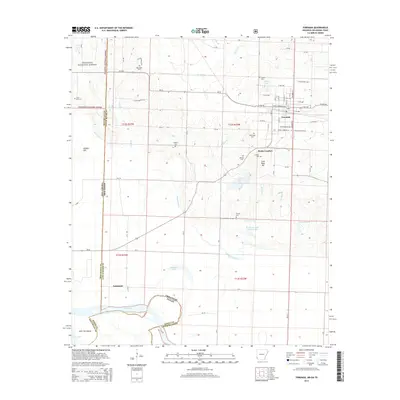
2014 Map of Foreman
USGS Topo · Published 2014About this map
The town of Foreman serves as a central hub in this corner of Little River County, where the Arkansas, Texas, and Oklahoma borders converge. The landscape transitions from the southern edge of the Ouachita National Forest in the northwest toward the fertile bottomlands of the Red River. Settled patterns are evident through a high density of small cemeteries, including Blackland Cem, Dollarhide Cem, and the Catholic Cem near Rocky Comfort.
Find a feature on this map
88 named features on this map. Tap any name to fly to it.
Don’t see what you’re looking for? This feature index may not catch every label — zoom into the map to look around manually.
Map Details
Editions of this 2014 Foreman Map
This is the sole edition of this map. No revisions or reprints were ever made.
Other maps of this area

1950 · Redbank
USGS Topo · 1:24,000

1950 · Tom
USGS Topo · 1:24,000

1950 · De Kalb
USGS Topo · 1:24,000

1950 · Winthrop
USGS Topo · 1:24,000

1950 · Bokhoma
USGS Topo · 1:24,000

1951 · De Kalb
USGS Topo · 1:24,000

1951 · Winthrop
USGS Topo · 1:24,000

1951 · Tom
USGS Topo · 1:24,000

1951 · Bokhoma
USGS Topo · 1:24,000

1951 · Redbank
USGS Topo · 1:24,000