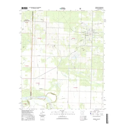
2017 Map of Foreman
USGS Topo · Published 2017About this map
The Red River forms the southern boundary of this Little River County landscape, marking the tri-state junction where Arkansas, Oklahoma, and Texas meet. The town of Foreman serves as the primary hub, characterized by a grid of streets including Rocky Comfort St and Tracy-Lawrence Ave, situated just north of Lime Rock Hill. The geography is defined by a dense network of drainage, with Walnut Bayou, French Cr, and Black Br meandering through low-lying areas toward the river.
Find a feature on this map
70 named features on this map. Tap any name to fly to it.
Don’t see what you’re looking for? This feature index may not catch every label — zoom into the map to look around manually.
Map Details
Editions of this 2017 Foreman Map
This is the sole edition of this map. No revisions or reprints were ever made.
Other maps of this area

1950 · Redbank
USGS Topo · 1:24,000

1950 · Tom
USGS Topo · 1:24,000

1950 · De Kalb
USGS Topo · 1:24,000

1950 · Winthrop
USGS Topo · 1:24,000

1950 · Bokhoma
USGS Topo · 1:24,000

1951 · De Kalb
USGS Topo · 1:24,000

1951 · Winthrop
USGS Topo · 1:24,000

1951 · Tom
USGS Topo · 1:24,000

1951 · Bokhoma
USGS Topo · 1:24,000

1951 · Redbank
USGS Topo · 1:24,000