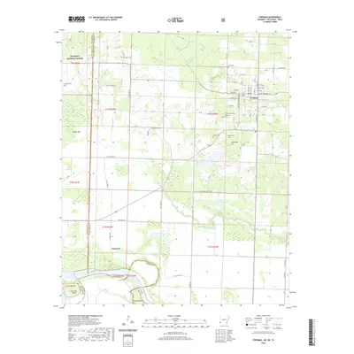
2020 Map of Foreman
USGS Topo · Published 2020About this map
Foreman stands as the primary hub in this southwestern corner of Arkansas, situated where local roads like Climax Rd and Gravelly Rd converge. The landscape is defined by the winding course of the Red River, which forms a complex border between Arkansas, Texas, and Oklahoma. This proximity to the state lines is particularly evident near Lanesport, where the river’s oxbows and islands, such as John Tom Island, create a shifting geography of wetlands and bayous.
Find a feature on this map
96 named features on this map. Tap any name to fly to it.
Don’t see what you’re looking for? This feature index may not catch every label — zoom into the map to look around manually.
Map Details
Editions of this 2020 Foreman Map
This is the sole edition of this map. No revisions or reprints were ever made.
Other maps of this area

1950 · Redbank
USGS Topo · 1:24,000

1950 · Tom
USGS Topo · 1:24,000

1950 · De Kalb
USGS Topo · 1:24,000

1950 · Winthrop
USGS Topo · 1:24,000

1950 · Bokhoma
USGS Topo · 1:24,000

1951 · De Kalb
USGS Topo · 1:24,000

1951 · Winthrop
USGS Topo · 1:24,000

1951 · Tom
USGS Topo · 1:24,000

1951 · Bokhoma
USGS Topo · 1:24,000

1951 · Redbank
USGS Topo · 1:24,000