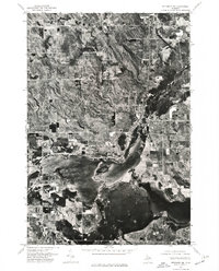
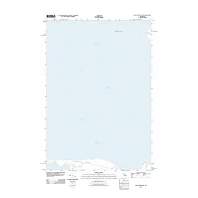
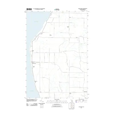
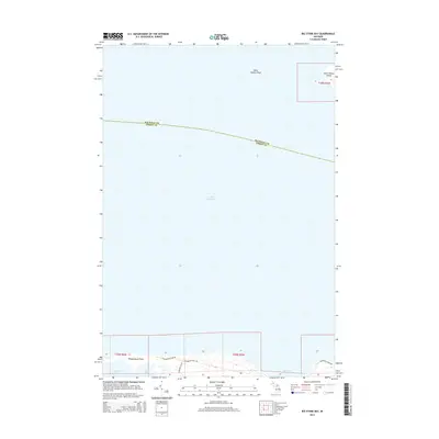
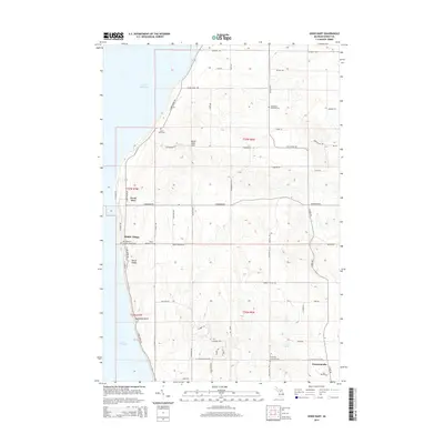
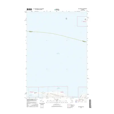
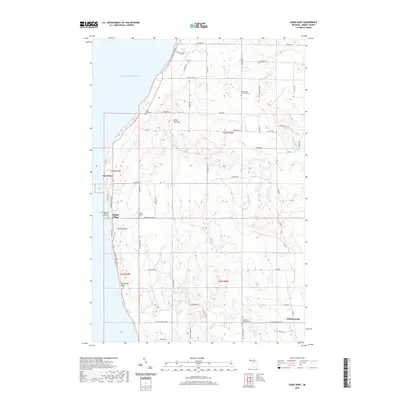
1983 Map of Forest Beach
USGS Topo · Published 1984About this map
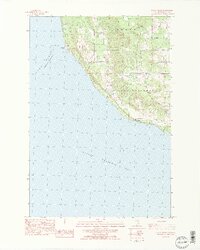
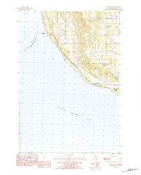
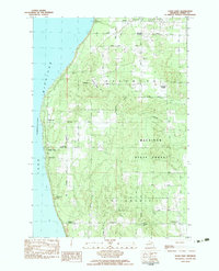
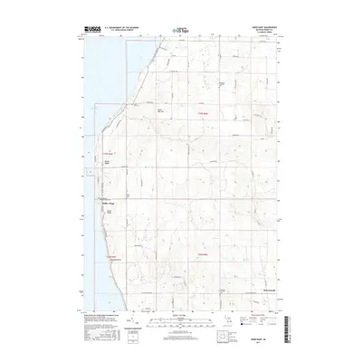
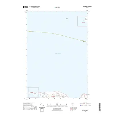
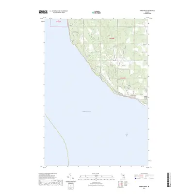
Little Traverse Bay and the shoreline of Lake Michigan define this coastal portion of Emmet County as it appeared in the early 1980s. The map illustrates the interface between the wooded uplands of Friendship and the developing lakefront areas of West Traverse. Settlement is concentrated along the coastal shelf, particularly near Forest Beach and the northern fringes of Harbor Springs.
Find a feature on this map
19 named features on this map. Tap any name to fly to it.
Don’t see what you’re looking for? This feature index may not catch every label — zoom into the map to look around manually.
Map Details
Editions of this 1983 Forest Beach Map
2 editions found
Historical Maps of Harbor Springs Through Time
51 maps found
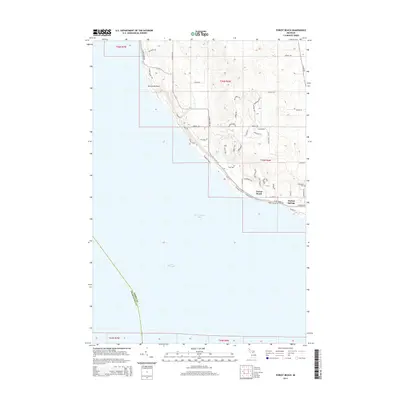
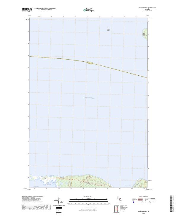
1964 Big Stone Bay
Emmet County, MI
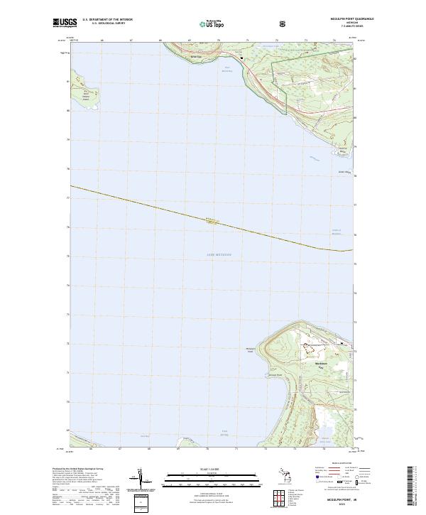
1964 McGulpin Point
Emmet County, MI
1975 Petoskey NE
Emmet County, MI
1975 Petoskey NW
Emmet County, MI
1975 Petoskey SW
Emmet County, MI
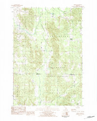
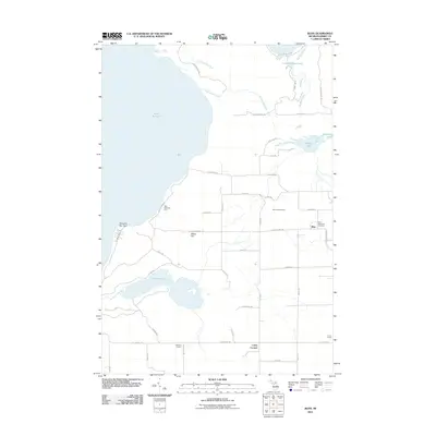
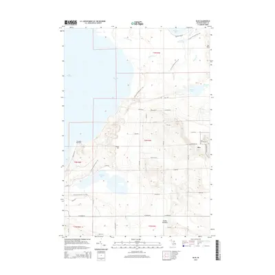
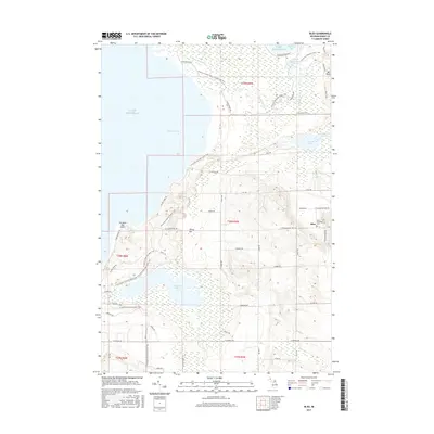
1982 Bliss
Emmet County, MI
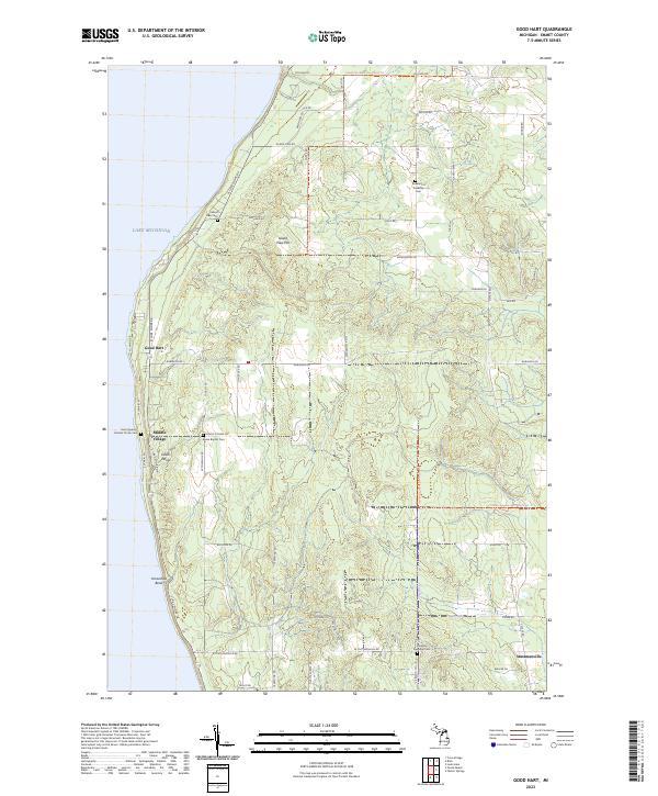
1982 Good Hart
Emmet County, MI
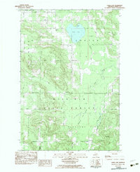
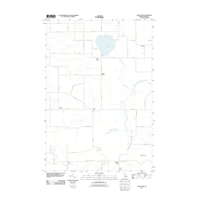
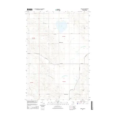
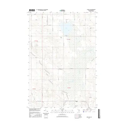
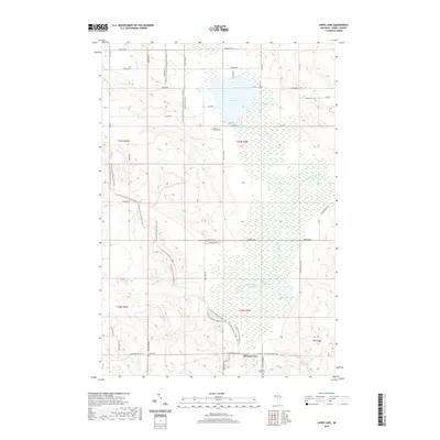
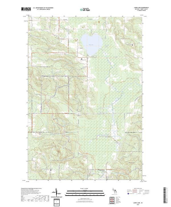
1982 Larks Lake
Emmet County, MI
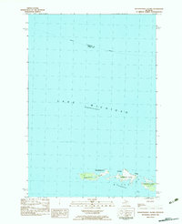
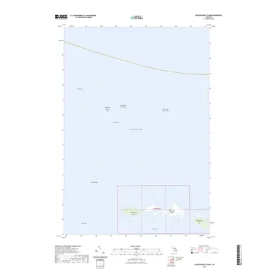
1982 Waugoshance Island
Emmet County, MI
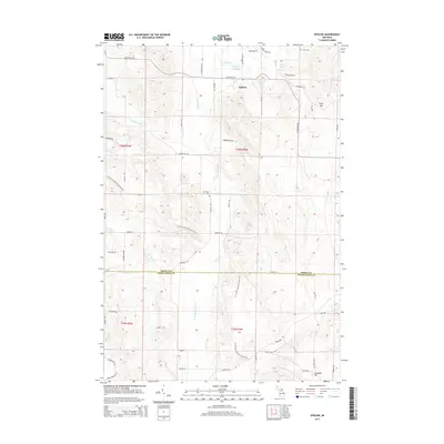
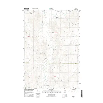
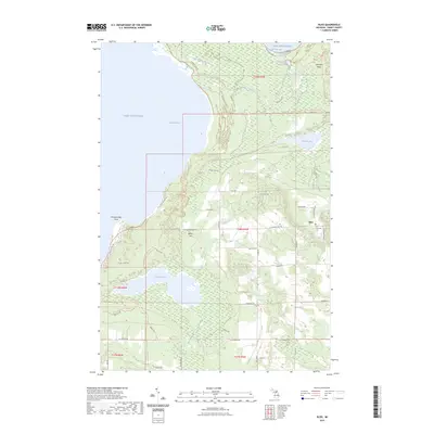
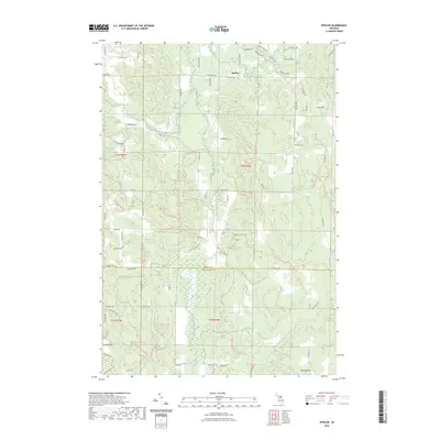
1983 Epsilon
Emmet County, MI
1983 Forest Beach
Emmet County, MI
2011 Big Stone Bay
Emmet County, MI
2011 Bliss
Emmet County, MI
2011 Epsilon
Emmet County, MI
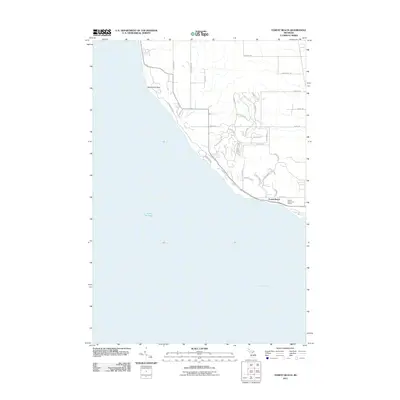
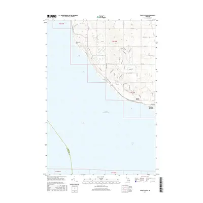
2011 Forest Beach
Emmet County, MI
2011 Good Hart
Emmet County, MI
2011 Larks Lake
Emmet County, MI
2011 McGulpin Point
Emmet County, MI
2011 Waugoshance Island
Emmet County, MI
2014 Big Stone Bay
Emmet County, MI
2014 Bliss
Emmet County, MI
2014 Epsilon
Emmet County, MI
2014 Forest Beach
Emmet County, MI
2014 Good Hart
Emmet County, MI
2014 Larks Lake
Emmet County, MI
2014 McGulpin Point
Emmet County, MI
2014 Waugoshance Island
Emmet County, MI
2017 Big Stone Bay
Emmet County, MI
2017 Bliss
Emmet County, MI
2017 Epsilon
Emmet County, MI
2017 Forest Beach
Emmet County, MI
2017 Good Hart
Emmet County, MI
2017 Larks Lake
Emmet County, MI
2017 McGulpin Point
Emmet County, MI
2017 Waugoshance Island
Emmet County, MI
2019 Big Stone Bay
Emmet County, MI
2019 Bliss
Emmet County, MI
2019 Epsilon
Emmet County, MI
2019 Forest Beach
Emmet County, MI
2019 Good Hart
Emmet County, MI
2019 Larks Lake
Emmet County, MI
2019 McGulpin Point
Emmet County, MI
2019 Waugoshance Island
Emmet County, MI
2023 Big Stone Bay
Emmet County, MI
2023 Bliss
Emmet County, MI
2023 Epsilon
Emmet County, MI
2023 Forest Beach
Emmet County, MI
2023 Good Hart
Emmet County, MI
2023 Larks Lake
Emmet County, MI
2023 McGulpin Point
Emmet County, MI
2023 Waugoshance Island
Emmet County, MI
Featured Locations
- Emmet County, MI
- Friendship Township, MI
- Harbor Springs, MI
- West Traverse Township, MI
- Forest Beach, West Traverse Township