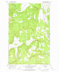
1965 Map of Forest Center
USGS Topo · Published 1977About this map
Deer Creek and the Colville River define the drainage of this Stevens County landscape during the mid-1960s. The region is characterized by significant topographic relief, with prominent features like Craney Hill and Lyons Hill overlooking the fertile Camas Valley. Evidence of the area's logistical and industrial history is visible through the Great Northern rail line and an Old Railroad Grade that winds through the southern terrain toward the Spokane Indian Reservation Boundary.
Find a feature on this map
28 named features on this map. Tap any name to fly to it.
Don’t see what you’re looking for? This feature index may not catch every label — zoom into the map to look around manually.
Map Details
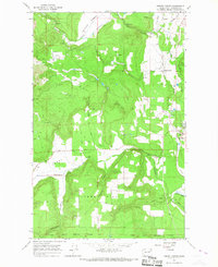
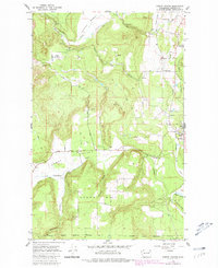
Editions of this 1965 Forest Center Map
Other maps of this area

1927 · Chewelah
USGS Topo · 1:125,000

1930 · Chewelah
USGS Topo · 1:125,000

1944 · Clayton
USGS Topo · 1:62,500

1944 · Wellpinit
USGS Topo · 1:62,500

1950 · Clayton
USGS Topo · 1:62,500

1953 · Wellpinit
USGS Topo · 1:62,500

1955 · Spokane
USGS Topo · 1:250,000

1958 · Spokane
USGS Topo · 1:250,000

1958 · Sandpoint
USGS Topo · 1:250,000

1963 · Sandpoint
USGS Topo · 1:250,000