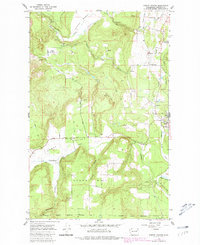
1965 Map of Forest Center
USGS Topo · Published 1981About this map
Camas Valley and the surrounding high country of Stevens County are revealed in this detailed topographical study, reflecting the landscape as it appeared in the mid-1960s with updates through the late 1970s. The geography is defined by a mix of working timberlands and narrow valleys, where the Great Northern railroad follows the course of the Colville River. Notable for its infrastructure of the era, the map records the presence of the Spokane Indian Reservation Boundary at its southern edge and the transition of older transit routes, marked by an Old Railroad Grade near Swamp Creek. Local transportation and land use are further detailed through named routes like Hesseltine Road and Mickelson Road, which weave through the terrain between Deer Meadow and Craney Hill. These labels, alongside numerous gravel pits and quarries, suggest a period of active local resource extraction and rural development.
Find a feature on this map
29 named features on this map. Tap any name to fly to it.
Don’t see what you’re looking for? This feature index may not catch every label — zoom into the map to look around manually.
Map Details
Editions of this 1965 Forest Center Map
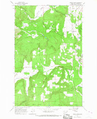
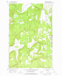
Other maps of this area

1927 · Chewelah
USGS Topo · 1:125,000

1930 · Chewelah
USGS Topo · 1:125,000

1944 · Clayton
USGS Topo · 1:62,500

1944 · Wellpinit
USGS Topo · 1:62,500

1950 · Clayton
USGS Topo · 1:62,500

1953 · Wellpinit
USGS Topo · 1:62,500

1955 · Spokane
USGS Topo · 1:250,000

1958 · Spokane
USGS Topo · 1:250,000

1958 · Sandpoint
USGS Topo · 1:250,000

1963 · Sandpoint
USGS Topo · 1:250,000