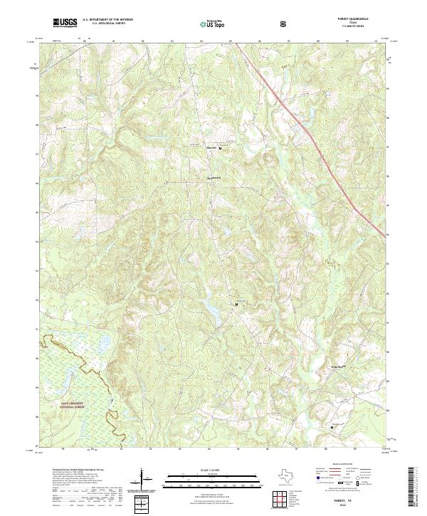
2022 Map of Forest
USGS Topo · Published 2022This historical map portrays the area of Forest in 2022, primarily covering Cherokee County as well as portions of Houston County. Featuring a scale of 1:24000, this map provides a highly detailed snapshot of the terrain, roads, buildings, counties, and historical landmarks in the Forest region at the time. Published in 2022, it is the sole known edition of this map.
Map Details
Editions of this 2022 Forest Map
This is the sole edition of this map. No revisions or reprints were ever made.
Historical Maps of Forest Through Time
23 maps found
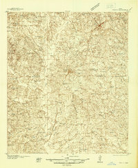
1937 Troupe
Cherokee County, TX
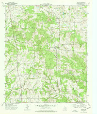
1973 Atoy
Cherokee County, TX
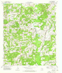
1973 Forest
Cherokee County, TX
1973 Griffin
Cherokee County, TX
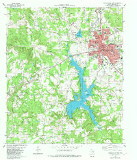
1973 Jacksonville East
Cherokee County, TX
1973 Mount Selman
Cherokee County, TX
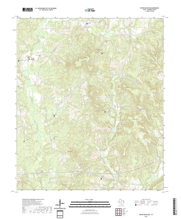
1973 Pryor Mountain
Cherokee County, TX
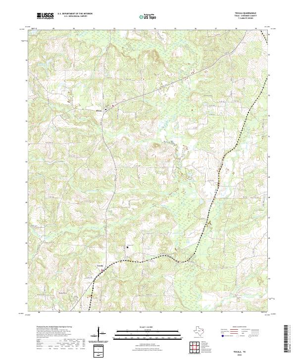
1973 Tecula
Cherokee County, TX
1982 Jacksonville West
Cherokee County, TX
1982 Maydelle
Cherokee County, TX
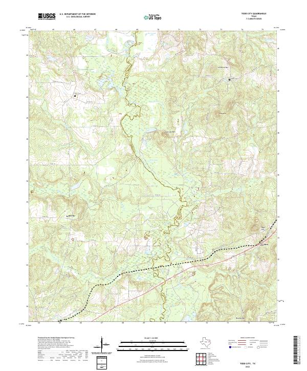
1982 Todd City
Cherokee County, TX
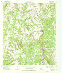
1983 Durst Lakes
Cherokee County, TX
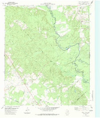
2022 Atoy
Cherokee County, TX
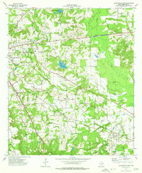
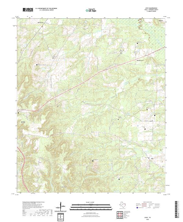
2022 Durst Lakes
Cherokee County, TX
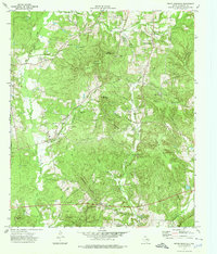
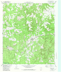
2022 Forest
Cherokee County, TX
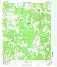
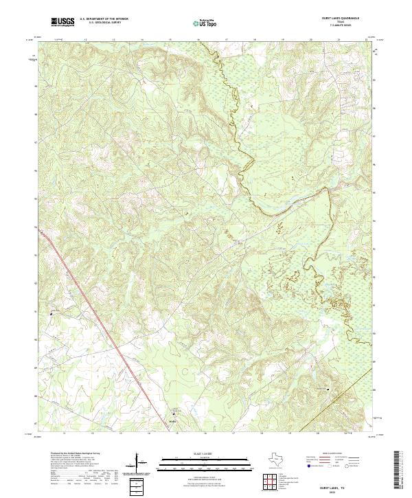
2022 Griffin
Cherokee County, TX
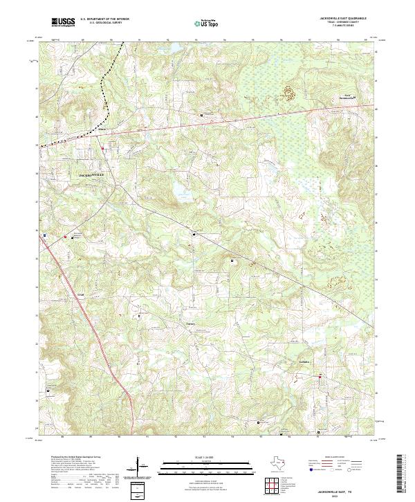
2022 Jacksonville East
Cherokee County, TX
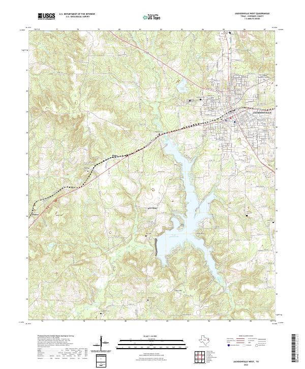
2022 Jacksonville West
Cherokee County, TX
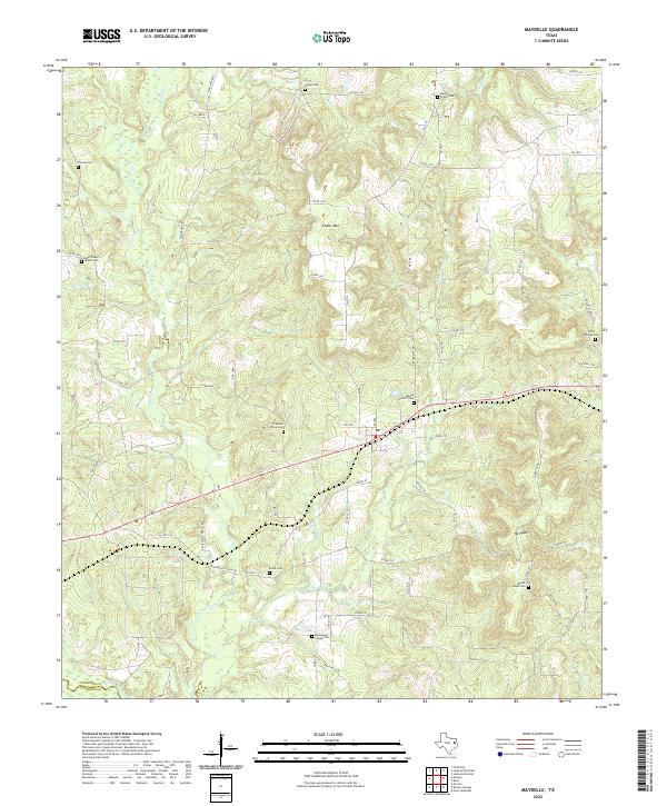
2022 Maydelle
Cherokee County, TX
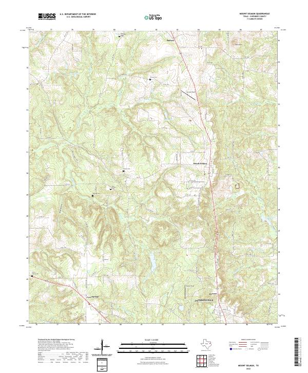
2022 Mount Selman
Cherokee County, TX
2022 Pryor Mountain
Cherokee County, TX
2022 Tecula
Cherokee County, TX
2022 Todd City
Cherokee County, TX