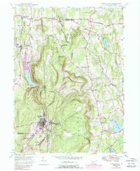
1946 Map of Forest City
USGS Topo · Published 1988About this map
The Moosic Mountains dominate this 1940s landscape, forming a natural barrier between the industrialized mining and rail corridors of the west and the rural, pond-dotted uplands to the east. At the southern edge of the quadrangle, Forest City and Vandling represent the northern reach of the Pennsylvania anthracite coal region, evidenced by the presence of the Erie Lackawanna Railroad and the Forest City Sta.
Find a feature on this map
41 named features on this map. Tap any name to fly to it.
Don’t see what you’re looking for? This feature index may not catch every label — zoom into the map to look around manually.
Map Details
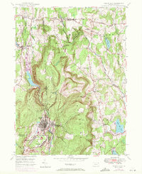
Editions of this 1946 Forest City Map
Other maps of this area

1892 · Honesdale
USGS Topo · 1:62,500

1892 · Dundaff
USGS Topo · 1:62,500

1926 · Starrucca
USGS Topo · 1:62,500

1930 · Starrucca
USGS Topo · 1:48,000

1932 · Susquehanna
USGS Topo · 1:62,500

1933 · Starrucca
USGS Topo · 1:62,500

1935 · Susquehanna
USGS Topo · 1:62,500

1943 · Honesdale
USGS Topo · 1:125,000

1946 · Forest City
USGS Topo · 1:24,000

1946 · Carbondale
USGS Topo · 1:24,000