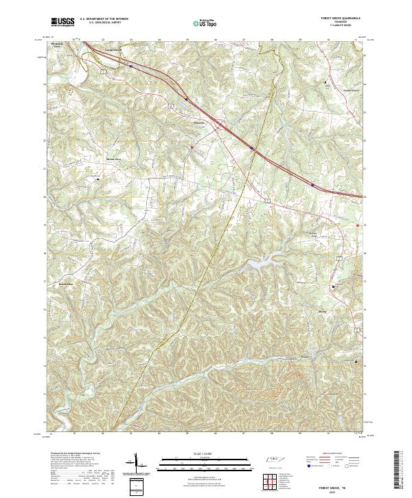
2022 Map of Forest Grove
USGS Topo · Published 2022About this map
Pleasant View and Coopertown sit at the northern edge of this Tennessee landscape, where the plateau begins its descent toward the deeply incised valleys of Marrowbone Creek. The terrain is defined by a dense network of ridges and hollows, such as Bear Hollow and Beech Hollow, which have historically shaped the road patterns and settlement locations in this region. This 2022 survey captures the modern road network while preserving the locations of local landmarks that have anchored these communities for generations.
Find a feature on this map
140 named features on this map. Tap any name to fly to it.
Don’t see what you’re looking for? This feature index may not catch every label — zoom into the map to look around manually.
Map Details
Editions of this 2022 Forest Grove Map
This is the sole edition of this map. No revisions or reprints were ever made.
Other maps of this area

1903 · Nashville
USGS Topo · 1:125,000

1930 · White Bluff
USGS Topo · 1:62,500

1931 · Ridgetop
USGS Topo · 1:62,500

1932 · Nashville
USGS Topo · 1:62,500

1933 · White Bluff
USGS Topo · 1:62,500

1935 · Ridgetop
USGS Topo · 1:62,500

1952 · Nashville West
USGS Topo · 1:24,000

1955 · Whites Creek
USGS Topo · 1:24,000

1955 · Forest Grove
USGS Topo · 1:24,000

1955 · Scottsboro
USGS Topo · 1:24,000