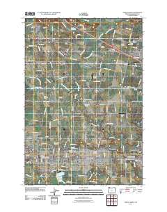
2011 Map of Forest Grove
USGS Topo · Published 2011About this map
Pacific University serves as a central landmark in this study of the northern Tualatin Valley, where the urban boundaries of Forest Grove, Cornelius, and Hillsboro meet the agricultural plains of Washington County. The landscape is a complex network of water management and rural heritage, evidenced by numerous irrigation and storage sites such as Rufener Reservoir, Van Loo Reservoir, and Herinckx Pond.
Find a feature on this map
117 named features on this map. Tap any name to fly to it.
Don’t see what you’re looking for? This feature index may not catch every label — zoom into the map to look around manually.
Map Details
Editions of this 2011 Forest Grove Map
This is the sole edition of this map. No revisions or reprints were ever made.
Other maps of this area

1915 · Hillsboro
USGS Topo · 1:62,500

1916 · Tualatin
USGS Topo · 1:62,500

1918 · Hillsboro
USGS Topo · 1:62,500

1939 · Tualatin
USGS Topo · 1:62,500

1940 · Tualatin
USGS Topo · 1:62,500

1940 · Hillsboro
USGS Topo · 1:62,500

1941 · Gales Creek
USGS Topo · 1:62,500

1941 · Yamhill
USGS Topo · 1:62,500

1942 · Yamhill
USGS Topo · 1:62,500

1948 · Vancouver
USGS Topo · 1:250,000