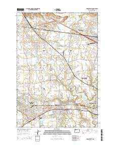
2014 Map of Forest Grove
USGS Topo · Published 2014About this map
The Tualatin Valley serves as a productive agricultural and educational corridor, anchoring the western edge of the Portland metropolitan area. This 2014 survey captures the established campuses of Pacific Univ in Forest Grove, alongside the neighboring communities of Cornelius, Hillsboro, and Carnation. The landscape is a mix of urban growth and rural infrastructure, evidenced by numerous small airfields such as Skyport Airport, Olinger Airpark, and the North Plains Gliderport.
Find a feature on this map
157 named features on this map. Tap any name to fly to it.
Don’t see what you’re looking for? This feature index may not catch every label — zoom into the map to look around manually.
Map Details
Editions of this 2014 Forest Grove Map
This is the sole edition of this map. No revisions or reprints were ever made.
Other maps of this area

1915 · Hillsboro
USGS Topo · 1:62,500

1916 · Tualatin
USGS Topo · 1:62,500

1918 · Hillsboro
USGS Topo · 1:62,500

1939 · Tualatin
USGS Topo · 1:62,500

1940 · Tualatin
USGS Topo · 1:62,500

1940 · Hillsboro
USGS Topo · 1:62,500

1941 · Gales Creek
USGS Topo · 1:62,500

1941 · Yamhill
USGS Topo · 1:62,500

1942 · Yamhill
USGS Topo · 1:62,500

1948 · Vancouver
USGS Topo · 1:250,000